
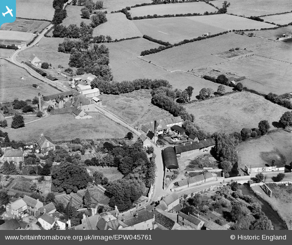
EPW045761 ENGLAND (1934). Wiltshire Creameries Ltd and Park Road, Malmesbury, 1934
© Copyright OpenStreetMap contributors and licensed by the OpenStreetMap Foundation. 2024. Cartography is licensed as CC BY-SA.
Nearby Images (5)
EPW045761

EPW045763

EPW045762

EPW045765

EPW045764

Details
| Title | [EPW045761] Wiltshire Creameries Ltd and Park Road, Malmesbury, 1934 |
| Reference | EPW045761 |
| Date | August-1934 |
| Link | |
| Place name | MALMESBURY |
| Parish | MALMESBURY |
| District | |
| Country | ENGLAND |
| Easting / Northing | 392961, 187787 |
| Longitude / Latitude | -2.10161439341, 51.588419024746 |
| National Grid Reference | ST930878 |
Pins
Be the first to add a comment to this image!


