
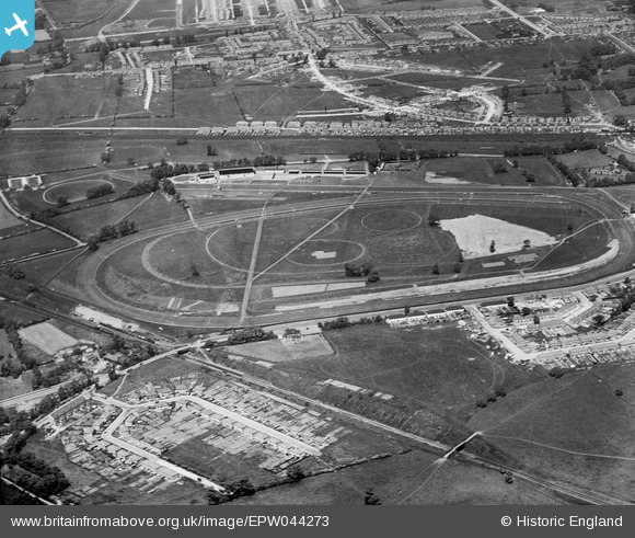
EPW044273 ENGLAND (1934). Northolt Park Racecourse and environs, Northolt, 1934
© Copyright OpenStreetMap contributors and licensed by the OpenStreetMap Foundation. 2024. Cartography is licensed as CC BY-SA.
Nearby Images (15)
EPW044273

EPR000013

EPW044271

EPW040900

EPW044554

EPW040902

EPW044270

EPW044272

EPW040901

EPR000014

EPW040792

EPW040793

EPR000621

EPW040796

EPW040795

Details
| Title | [EPW044273] Northolt Park Racecourse and environs, Northolt, 1934 |
| Reference | EPW044273 |
| Date | May-1934 |
| Link | |
| Place name | NORTHOLT |
| Parish | |
| District | |
| Country | ENGLAND |
| Easting / Northing | 513342, 184829 |
| Longitude / Latitude | -0.36511637975165, 51.550474065565 |
| National Grid Reference | TQ133848 |
Pins
Be the first to add a comment to this image!


