
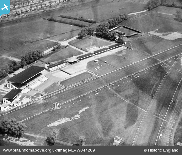
EPW044269 ENGLAND (1934). The stands and paddock at Northolt Park Racecourse, Northolt, 1934. This image has been produced from a damaged negative.
© Copyright OpenStreetMap contributors and licensed by the OpenStreetMap Foundation. 2024. Cartography is licensed as CC BY-SA.
Nearby Images (17)
EPW044269

EPW044266

EPW044945

EPW044268

EPW044950

EPW044944

EPW044949

EPW044267

EPW044946

EPW044947

EPW044948

EPW035054

EPR000621

EPW040902

EPW040900

EPW044554

EPW044270

Details
| Title | [EPW044269] The stands and paddock at Northolt Park Racecourse, Northolt, 1934. This image has been produced from a damaged negative. |
| Reference | EPW044269 |
| Date | May-1934 |
| Link | |
| Place name | NORTHOLT |
| Parish | |
| District | |
| Country | ENGLAND |
| Easting / Northing | 513178, 185118 |
| Longitude / Latitude | -0.36738792547818, 51.553104748801 |
| National Grid Reference | TQ132851 |
Pins
Be the first to add a comment to this image!


