
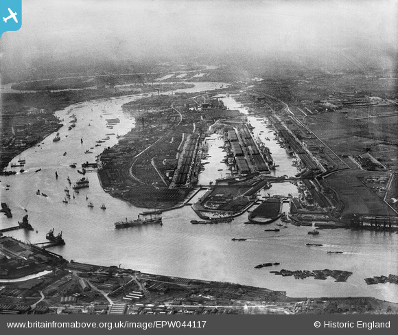
EPW044117 ENGLAND (1934). The Royal Group of Docks and the River Thames, East Ham, from the east, 1934
© Copyright OpenStreetMap contributors and licensed by the OpenStreetMap Foundation. 2024. Cartography is licensed as CC BY-SA.
Nearby Images (7)
EPW044117

EAW046498

EPW044122

EPW024898

EPW044125

EAW046497

EPW032931

Details
| Title | [EPW044117] The Royal Group of Docks and the River Thames, East Ham, from the east, 1934 |
| Reference | EPW044117 |
| Date | May-1934 |
| Link | |
| Place name | EAST HAM |
| Parish | |
| District | |
| Country | ENGLAND |
| Easting / Northing | 544254, 180273 |
| Longitude / Latitude | 0.078620696109542, 51.502474576678 |
| National Grid Reference | TQ443803 |
Pins
Be the first to add a comment to this image!


