
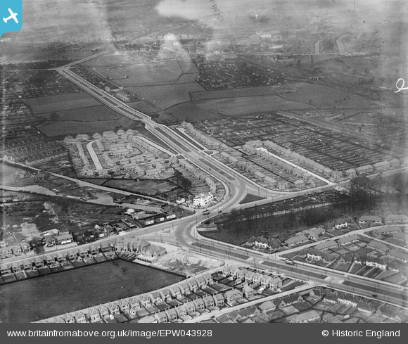
EPW043928 ENGLAND (1934). Housing at Southwold Drive, Marchwood Close and Radford Bridge, Radford, 1934
© Copyright OpenStreetMap contributors and licensed by the OpenStreetMap Foundation. 2024. Cartography is licensed as CC BY-SA.
Nearby Images (15)
EPW043928

EPW043926

EPW043615

EPW043614

EPW043927

EPW043930

EPW043616

EPW043617

EPW043612

EPW043613

EPW046105

EPW043929

EPW046103

EPW046106

EPW046104

Details
| Title | [EPW043928] Housing at Southwold Drive, Marchwood Close and Radford Bridge, Radford, 1934 |
| Reference | EPW043928 |
| Date | April-1934 |
| Link | |
| Place name | RADFORD |
| Parish | |
| District | |
| Country | ENGLAND |
| Easting / Northing | 454438, 340283 |
| Longitude / Latitude | -1.18955124045, 52.95684087416 |
| National Grid Reference | SK544403 |
Pins
Be the first to add a comment to this image!


