
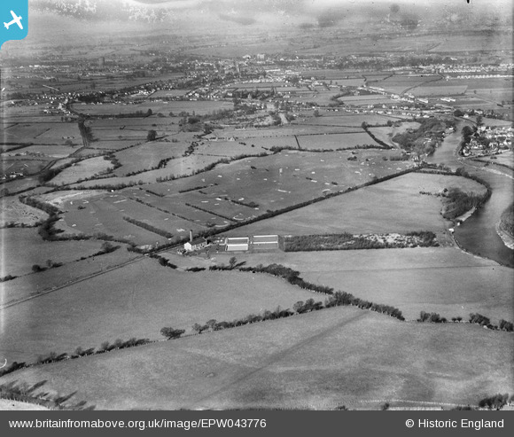
EPW043776 ENGLAND (1934). Chertsey (Laleham) Golf Course and environs, Laleham Burway, from the south-east, 1934
© Copyright OpenStreetMap contributors and licensed by the OpenStreetMap Foundation. 2024. Cartography is licensed as CC BY-SA.
Nearby Images (3)
EPW043776
 Golf Course and environs, Laleham Burway, from the south-east, 1934")
EPW043774
 Golf Course and environs, Laleham Burway, from the south-east, 1934")
EPW043775
 Golf Course and environs, Laleham Burway, from the south-east, 1934")
Details
| Title | [EPW043776] Chertsey (Laleham) Golf Course and environs, Laleham Burway, from the south-east, 1934 |
| Reference | EPW043776 |
| Date | February-1934 |
| Link | |
| Place name | LALEHAM BURWAY |
| Parish | |
| District | |
| Country | ENGLAND |
| Easting / Northing | 504733, 167555 |
| Longitude / Latitude | -0.49436902586747, 51.396854809426 |
| National Grid Reference | TQ047676 |
Pins
 Baz |
Thursday 10th of September 2015 03:55:50 PM | |
Baz |
Thursday 10th of September 2015 03:55:12 PM | |
Baz |
Thursday 10th of September 2015 03:54:19 PM | |
Baz |
Thursday 10th of September 2015 03:52:23 PM | |
Baz |
Thursday 10th of September 2015 03:49:01 PM | |
Baz |
Thursday 10th of September 2015 03:48:27 PM | |
Baz |
Thursday 10th of September 2015 03:47:12 PM | |
Baz |
Thursday 10th of September 2015 03:46:35 PM | |
Baz |
Thursday 10th of September 2015 03:46:02 PM | |
Billy121 |
Thursday 17th of July 2014 06:04:05 PM |


