
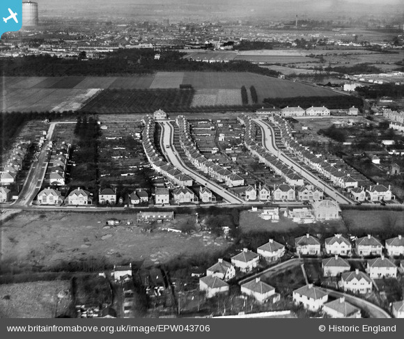
EPW043706 ENGLAND (1934). Meadow Waye and environs, Heston, from the south, 1934
© Copyright OpenStreetMap contributors and licensed by the OpenStreetMap Foundation. 2024. Cartography is licensed as CC BY-SA.
Nearby Images (14)
EPW043706

EPW043708

EPW043705

EPW057931

EPW043704

EPW043693

EPW043707

EPW043710

EPW043690

EPW043691

EPW043688

EPW043689

EPW043709

EPW043692

Details
| Title | [EPW043706] Meadow Waye and environs, Heston, from the south, 1934 |
| Reference | EPW043706 |
| Date | January-1934 |
| Link | |
| Place name | HESTON |
| Parish | |
| District | |
| Country | ENGLAND |
| Easting / Northing | 512239, 177264 |
| Longitude / Latitude | -0.38342920497058, 51.482693628067 |
| National Grid Reference | TQ122773 |
Pins
Be the first to add a comment to this image!


