
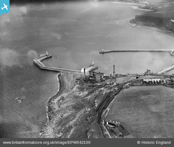
EPW042100 ENGLAND (1933). Wellington Pit and the Outer Harbour, Whitehaven, 1933
© Copyright OpenStreetMap contributors and licensed by the OpenStreetMap Foundation. 2024. Cartography is licensed as CC BY-SA.
Details
| Title | [EPW042100] Wellington Pit and the Outer Harbour, Whitehaven, 1933 |
| Reference | EPW042100 |
| Date | June-1933 |
| Link | |
| Place name | WHITEHAVEN |
| Parish | |
| District | |
| Country | ENGLAND |
| Easting / Northing | 296772, 518445 |
| Longitude / Latitude | -3.5961641372598, 54.550585713764 |
| National Grid Reference | NX968184 |
Pins
 gnombicards |
Tuesday 12th of May 2020 01:27:12 PM | |
gnombicards |
Tuesday 12th of May 2020 01:26:25 PM | |
gnombicards |
Tuesday 12th of May 2020 01:25:56 PM | |
gnombicards |
Tuesday 12th of May 2020 01:25:22 PM | |
RichardG |
Wednesday 27th of June 2018 05:20:32 PM |
User Comment Contributions
 Wellington Pit |
MotoFreako64 |
Friday 14th of June 2013 08:50:12 PM |


