
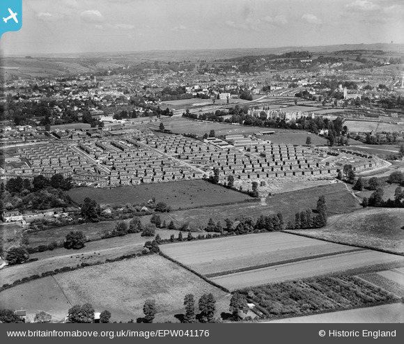
EPW041176 ENGLAND (1933). Housing off Burnthouse Lane and environs, Exeter, from the south-east, 1933
© Copyright OpenStreetMap contributors and licensed by the OpenStreetMap Foundation. 2024. Cartography is licensed as CC BY-SA.
Details
| Title | [EPW041176] Housing off Burnthouse Lane and environs, Exeter, from the south-east, 1933 |
| Reference | EPW041176 |
| Date | May-1933 |
| Link | |
| Place name | EXETER |
| Parish | |
| District | |
| Country | ENGLAND |
| Easting / Northing | 294095, 90841 |
| Longitude / Latitude | -3.5000219593534, 50.706973266098 |
| National Grid Reference | SX941908 |
Pins
 Kate Burhouse |
Sunday 3rd of January 2021 12:20:56 PM | |
Kate Burhouse |
Sunday 3rd of January 2021 12:20:24 PM | |
Allen T |
Wednesday 25th of June 2014 05:41:46 PM | |
Allen T |
Friday 24th of May 2013 08:29:45 PM | |
Allen T |
Friday 24th of May 2013 08:28:10 PM | |
Allen T |
Friday 24th of May 2013 08:26:33 PM | |
Allen T |
Friday 24th of May 2013 08:19:55 PM | |
Allen T |
Friday 24th of May 2013 08:18:35 PM | |
Allen T |
Friday 24th of May 2013 08:17:58 PM | |
Allen T |
Friday 24th of May 2013 08:16:15 PM | |
Allen T |
Friday 24th of May 2013 08:14:48 PM | |
Allen T |
Friday 24th of May 2013 08:13:20 PM | |
Allen T |
Friday 24th of May 2013 08:11:33 PM | |
Allen T |
Friday 24th of May 2013 08:10:40 PM | |
Allen T |
Friday 24th of May 2013 08:09:17 PM |


