
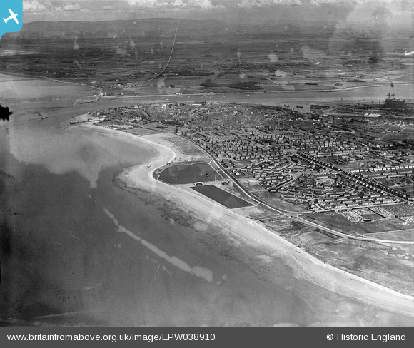
EPW038910 ENGLAND (1932). The seafront and the town, Fleetwood, from the north-west, 1932
© Copyright OpenStreetMap contributors and licensed by the OpenStreetMap Foundation. 2024. Cartography is licensed as CC BY-SA.
Details
| Title | [EPW038910] The seafront and the town, Fleetwood, from the north-west, 1932 |
| Reference | EPW038910 |
| Date | July-1932 |
| Link | |
| Place name | FLEETWOOD |
| Parish | FLEETWOOD |
| District | |
| Country | ENGLAND |
| Easting / Northing | 331878, 448415 |
| Longitude / Latitude | -3.0375521668322, 53.927179656475 |
| National Grid Reference | SD319484 |
Pins
Be the first to add a comment to this image!


