
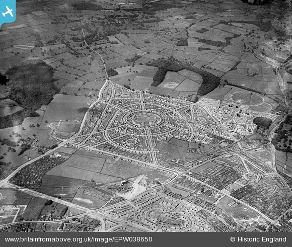
EPW038650 ENGLAND (1932). New housing estates, Aspley, 1932
© Copyright OpenStreetMap contributors and licensed by the OpenStreetMap Foundation. 2024. Cartography is licensed as CC BY-SA.
Nearby Images (14)
EPW038650

EPW036012

EPW038658

EPW038656

EPW038652

EPW038659

EPW038657

EPW038654

EPW036013

EPW038651

EPW036014

EPW038653

EPW038655

EPW036016

Details
| Title | [EPW038650] New housing estates, Aspley, 1932 |
| Reference | EPW038650 |
| Date | June-1932 |
| Link | |
| Place name | ASPLEY |
| Parish | |
| District | |
| Country | ENGLAND |
| Easting / Northing | 453567, 342411 |
| Longitude / Latitude | -1.2021647704422, 52.976058008463 |
| National Grid Reference | SK536424 |
Pins
 Dave |
Tuesday 3rd of February 2015 08:43:03 PM | |
Dave |
Tuesday 3rd of February 2015 08:42:15 PM | |
Dave |
Tuesday 3rd of February 2015 08:41:57 PM | |
Dave |
Monday 2nd of February 2015 08:23:06 PM | |
Rich 2020 |
Friday 1st of August 2014 07:59:40 AM | |
Rich 2020 |
Friday 1st of August 2014 07:58:59 AM | |
Rich 2020 |
Friday 1st of August 2014 07:54:00 AM | |
Rich 2020 |
Friday 1st of August 2014 07:41:03 AM | |
Rich 2020 |
Friday 1st of August 2014 07:39:41 AM | |
Rich 2020 |
Friday 1st of August 2014 07:39:11 AM | |
Rich 2020 |
Friday 1st of August 2014 07:37:41 AM |


