
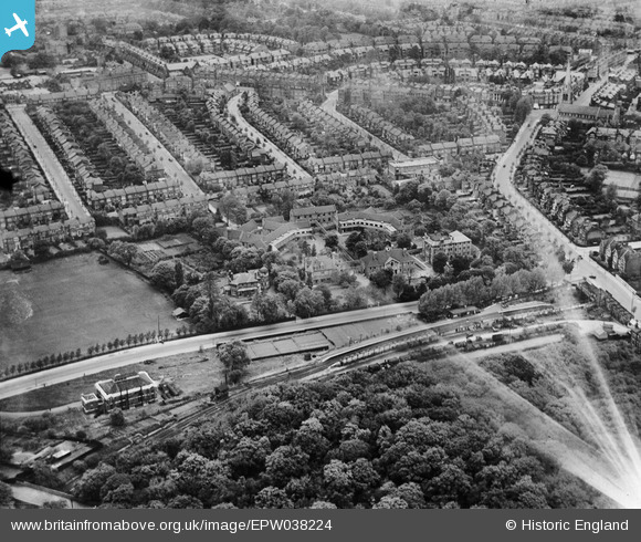
EPW038224 ENGLAND (1932). Woodside Hospital and environs, Muswell Hill, 1932
© Copyright OpenStreetMap contributors and licensed by the OpenStreetMap Foundation. 2024. Cartography is licensed as CC BY-SA.
Nearby Images (17)
EPW038224

EPW038226

EPW038228

EPW038223

EPW038225

EPW038227

EPW038229

EPW009664

EPW048335

EPW048329

EPW048338

EPW048340

EPW048332

EPW048339

EPW048333

EPW048337

EPW048336

Details
| Title | [EPW038224] Woodside Hospital and environs, Muswell Hill, 1932 |
| Reference | EPW038224 |
| Date | June-1932 |
| Link | |
| Place name | MUSWELL HILL |
| Parish | |
| District | |
| Country | ENGLAND |
| Easting / Northing | 528336, 189231 |
| Longitude / Latitude | -0.14734433182786, 51.58682624502 |
| National Grid Reference | TQ283892 |
Pins
Be the first to add a comment to this image!


