
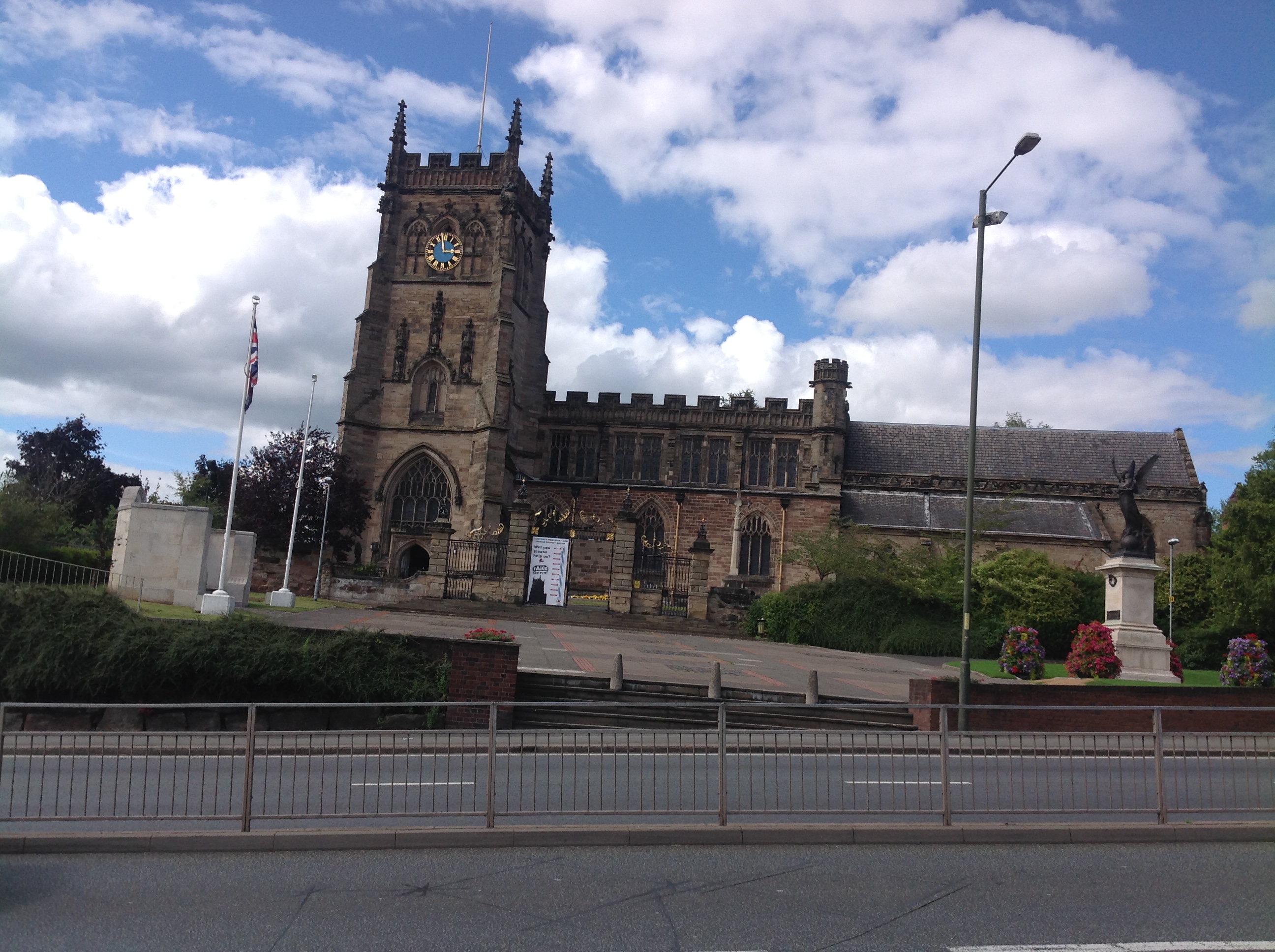
EPW037607 ENGLAND (1932). St Mary and All Saints' Church and the Church Street area, Kidderminster, 1932

© Copyright OpenStreetMap contributors and licensed by the OpenStreetMap Foundation. 2024. Cartography is licensed as CC BY-SA.
Nearby Images (6)
EPW037607

EPW037604

EPW037598

EPW037606

EPW037605

EPW059861

Details
| Title | [EPW037607] St Mary and All Saints' Church and the Church Street area, Kidderminster, 1932 |
| Reference | EPW037607 |
| Date | April-1932 |
| Link | |
| Place name | KIDDERMINSTER |
| Parish | |
| District | |
| Country | ENGLAND |
| Easting / Northing | 383024, 276897 |
| Longitude / Latitude | -2.2494760858732, 52.389455275927 |
| National Grid Reference | SO830769 |
Pins
User Comment Contributions
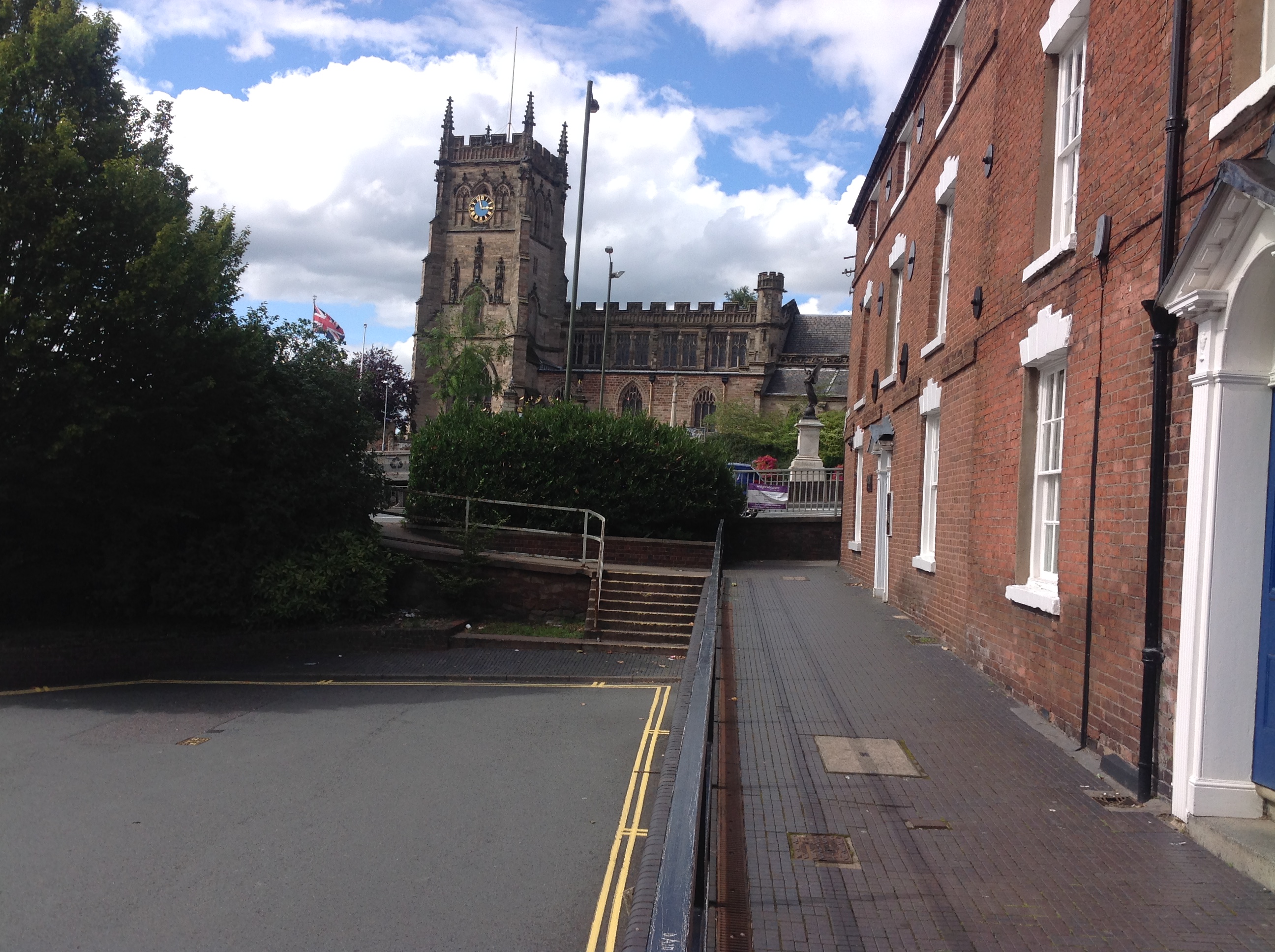 The Parish Church of St. Mary and All Saints' Kidderminster, 15/08/2015. There is a five lane dual carriageway road cutting across this photo which severs the Parish Church from the centre of Kidderminster. |
 Class31 |
Sunday 16th of August 2015 08:51:28 AM |
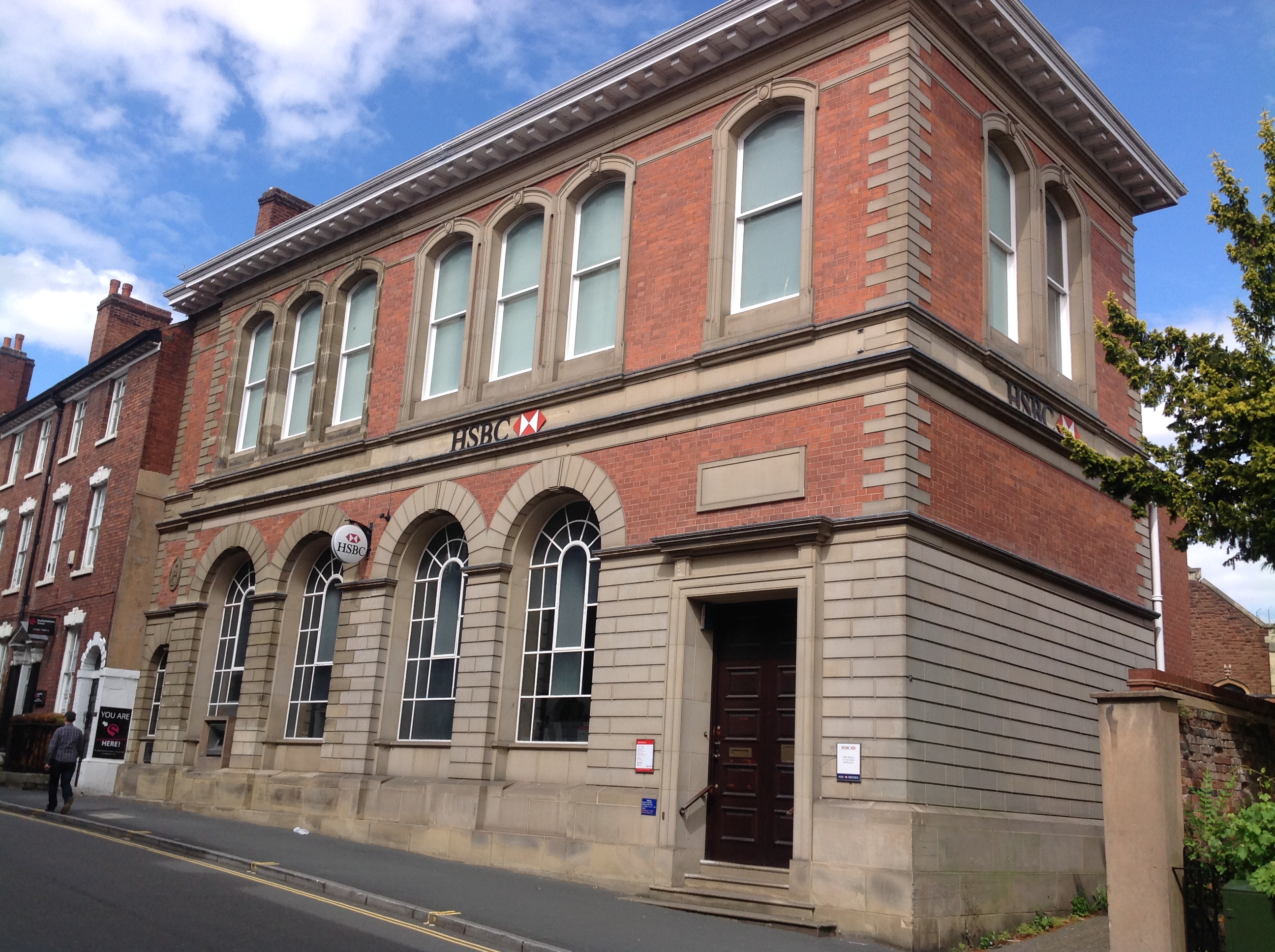 HSBC Bank, Church Street, Kidderminster, 15/08/2015 |
Class31 |
Sunday 16th of August 2015 08:39:20 AM |
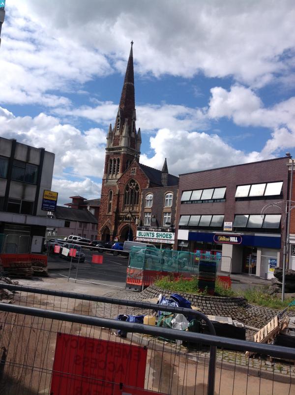
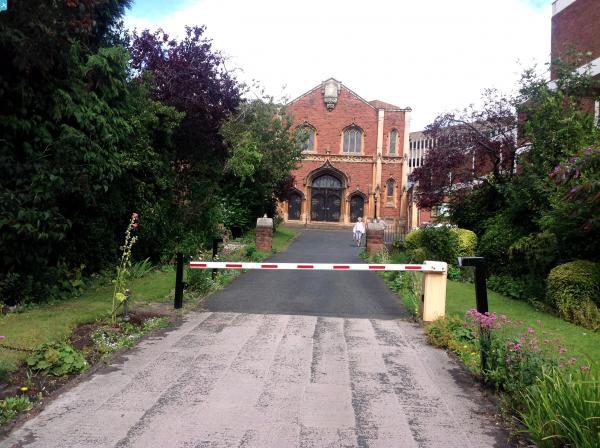
 Church Street, Kidderminster, 15/08/2015 |
Class31 |
Sunday 16th of August 2015 08:37:58 AM |
 Church Street, Kidderminster, 15/08/2015 |
Class31 |
Sunday 16th of August 2015 08:37:14 AM |
 Church Street, Kidderminster, 15/08/2015 |
Class31 |
Sunday 16th of August 2015 08:33:01 AM |
 The Parish Church of St. Mary and All Saints' Kidderminster, 15/08/2015 |
Class31 |
Sunday 16th of August 2015 08:30:22 AM |


