
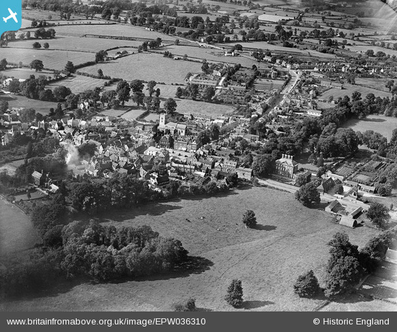
EPW036310 ENGLAND (1931). The town, Winslow, from the south-east, 1931
© Copyright OpenStreetMap contributors and licensed by the OpenStreetMap Foundation. 2024. Cartography is licensed as CC BY-SA.
Nearby Images (3)
EPW036310

EPW036307

EPW036308

Details
| Title | [EPW036310] The town, Winslow, from the south-east, 1931 |
| Reference | EPW036310 |
| Date | August-1931 |
| Link | |
| Place name | WINSLOW |
| Parish | WINSLOW |
| District | |
| Country | ENGLAND |
| Easting / Northing | 477059, 227400 |
| Longitude / Latitude | -0.87890798660505, 51.939329249818 |
| National Grid Reference | SP771274 |
Pins
 kansanbrit |
Tuesday 22nd of October 2013 08:01:06 PM | |
kansanbrit |
Tuesday 22nd of October 2013 07:54:06 PM |


