
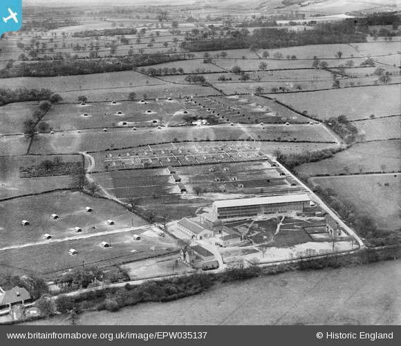
EPW035137 ENGLAND (1931). Fen Pond Farm and surrounding countryside, Wrotham, 1931
© Copyright OpenStreetMap contributors and licensed by the OpenStreetMap Foundation. 2024. Cartography is licensed as CC BY-SA.
Nearby Images (12)
EPW035137

EPW035131

EPW035125

EPW035132

EPW035128

EPW035127

EPW035130

EPW035134

EPW035135

EPW035138

EPW035133

EPW035136

Details
| Title | [EPW035137] Fen Pond Farm and surrounding countryside, Wrotham, 1931 |
| Reference | EPW035137 |
| Date | May-1931 |
| Link | |
| Place name | WROTHAM |
| Parish | WROTHAM |
| District | |
| Country | ENGLAND |
| Easting / Northing | 559130, 158048 |
| Longitude / Latitude | 0.28283190753181, 51.298779294011 |
| National Grid Reference | TQ591580 |
Pins
Be the first to add a comment to this image!


