
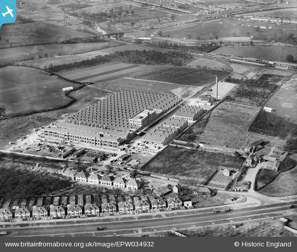
EPW034932 ENGLAND (1931). The Imperial Biscuit Works, Osterley, 1931
© Copyright OpenStreetMap contributors and licensed by the OpenStreetMap Foundation. 2024. Cartography is licensed as CC BY-SA.
Nearby Images (12)
EPW034932

EPW040960

EPW034933

EPW040958

EPW032161

EPW031986

EPW034934

EPW051810

EPW027556

EPW059345

EPW060953

EPW035030

Details
| Title | [EPW034932] The Imperial Biscuit Works, Osterley, 1931 |
| Reference | EPW034932 |
| Date | March-1931 |
| Link | |
| Place name | OSTERLEY |
| Parish | |
| District | |
| Country | ENGLAND |
| Easting / Northing | 516132, 177615 |
| Longitude / Latitude | -0.32726839173802, 51.485062555503 |
| National Grid Reference | TQ161776 |
Pins
 The Laird |
Wednesday 1st of August 2018 04:35:16 PM | |
Mozzy |
Saturday 27th of December 2014 02:24:59 PM | |
Mozzy |
Saturday 27th of December 2014 02:23:05 PM | |
Mozzy |
Saturday 27th of December 2014 02:21:02 PM | |
Mozzy |
Saturday 27th of December 2014 02:16:37 PM |


