
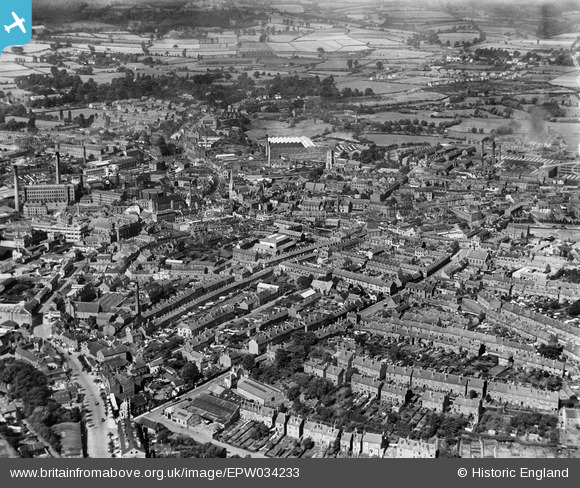
EPW034233 ENGLAND (1930). The town centre, Kidderminster, 1930
© Copyright OpenStreetMap contributors and licensed by the OpenStreetMap Foundation. 2024. Cartography is licensed as CC BY-SA.
Nearby Images (8)
EPW034233

EPW037600

EPW037605

EPW033978

EPW037603

EPW037601

EPW059861

EPW037602

Details
| Title | [EPW034233] The town centre, Kidderminster, 1930 |
| Reference | EPW034233 |
| Date | July-1930 |
| Link | |
| Place name | KIDDERMINSTER |
| Parish | |
| District | |
| Country | ENGLAND |
| Easting / Northing | 383306, 276696 |
| Longitude / Latitude | -2.2453218899183, 52.387656744963 |
| National Grid Reference | SO833767 |
Pins
Be the first to add a comment to this image!


