
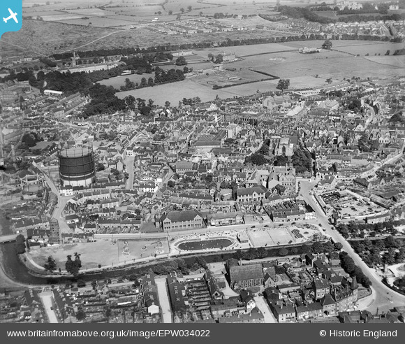
EPW034022 ENGLAND (1930). Victoria Park and the town centre, Stafford, 1930
© Copyright OpenStreetMap contributors and licensed by the OpenStreetMap Foundation. 2024. Cartography is licensed as CC BY-SA.
Nearby Images (17)
EPW034022

EPW053381

EAW001865

EPW053380

EAW001866

EAW046078

EPW014109

EAW024958

EPW014106

EPW053375

EAW024957

EAW024955

EAW001867

EPW020050

EPW017027

EAW024954

EAW024968

Details
| Title | [EPW034022] Victoria Park and the town centre, Stafford, 1930 |
| Reference | EPW034022 |
| Date | July-1930 |
| Link | |
| Place name | STAFFORD |
| Parish | |
| District | |
| Country | ENGLAND |
| Easting / Northing | 392045, 323249 |
| Longitude / Latitude | -2.1180202791675, 52.806402695485 |
| National Grid Reference | SJ920232 |
Pins
 Finder |
Thursday 6th of April 2017 02:43:30 PM | |
david |
Thursday 24th of April 2014 07:00:34 PM | |
knightley |
Thursday 7th of November 2013 11:10:25 PM | |
knightley |
Thursday 7th of November 2013 11:09:40 PM | |
knightley |
Thursday 7th of November 2013 11:06:13 PM |
User Comment Contributions
 Shire Hall, 12/08/2015 |
 Class31 |
Wednesday 12th of August 2015 10:38:06 PM |


