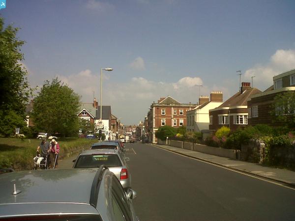
EPW033466 ENGLAND (1930). The town centre, Exmouth, 1930

© Copyright OpenStreetMap contributors and licensed by the OpenStreetMap Foundation. 2024. Cartography is licensed as CC BY-SA.
Nearby Images (3)
EPW033466

EPW023668

EAW051156

Details
| Title | [EPW033466] The town centre, Exmouth, 1930 |
| Reference | EPW033466 |
| Date | July-1930 |
| Link | |
| Place name | EXMOUTH |
| Parish | EXMOUTH |
| District | |
| Country | ENGLAND |
| Easting / Northing | 300250, 80930 |
| Longitude / Latitude | -3.4102006297136, 50.618951735904 |
| National Grid Reference | SY003809 |
Pins
 AndrewR |
Monday 13th of November 2017 04:11:02 PM | |
AndrewR |
Monday 13th of November 2017 04:10:00 PM | |
AndrewR |
Monday 13th of November 2017 04:09:02 PM | |
AndrewR |
Monday 13th of November 2017 04:07:55 PM | |
 Class31 |
Thursday 20th of June 2013 01:13:33 PM | |
Class31 |
Thursday 20th of June 2013 01:11:50 PM | |
Class31 |
Thursday 20th of June 2013 01:10:10 PM | |
Class31 |
Thursday 20th of June 2013 01:08:48 PM |