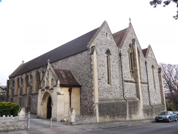
EPW033277 ENGLAND (1930). The Royal Crescent and environs, Weston-Super-Mare, 1930

© Copyright OpenStreetMap contributors and licensed by the OpenStreetMap Foundation. 2024. Cartography is licensed as CC BY-SA.
Nearby Images (7)
EPW033277

EPW001037

EAW025150

EPW051731

EAW025151

EAW015053

EAW015054

Details
| Title | [EPW033277] The Royal Crescent and environs, Weston-Super-Mare, 1930 |
| Reference | EPW033277 |
| Date | July-1930 |
| Link | |
| Place name | WESTON-SUPER-MARE |
| Parish | WESTON-SUPER-MARE |
| District | |
| Country | ENGLAND |
| Easting / Northing | 331679, 161911 |
| Longitude / Latitude | -2.9811948200047, 51.351662982908 |
| National Grid Reference | ST317619 |
Pins
 Class31 |
Tuesday 12th of April 2016 07:17:30 AM | |
 Alan McFaden |
Saturday 19th of October 2013 03:38:56 PM | |
Alan McFaden |
Saturday 19th of October 2013 03:37:25 PM | |
Alan McFaden |
Saturday 19th of October 2013 03:36:24 PM |