EPW033187 ENGLAND (1930). St Margaret's Street, the Town Bridge and the town centre, Bradford-on-Avon, 1930

© Copyright OpenStreetMap contributors and licensed by the OpenStreetMap Foundation. 2024. Cartography is licensed as CC BY-SA.
Nearby Images (5)
EPW033187

EPW033189

EPW033188

EPW033183

EPW048383

Details
| Title | [EPW033187] St Margaret's Street, the Town Bridge and the town centre, Bradford-on-Avon, 1930 |
| Reference | EPW033187 |
| Date | July-1930 |
| Link | |
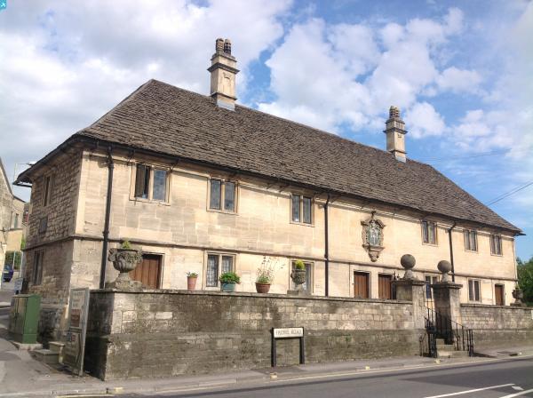
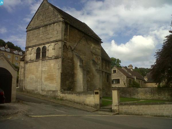
| Place name | BRADFORD-ON-AVON |
| Parish | BRADFORD-ON-AVON |
| District | |
| Country | ENGLAND |
| Easting / Northing | 382558, 160780 |
| Longitude / Latitude | -2.2504569777558, 51.345333279263 |
| National Grid Reference | ST826608 |
Pins
 wayfarer |
Sunday 19th of June 2016 10:43:40 PM | |
 Class31 |
Monday 21st of July 2014 05:21:11 PM | |
Jules of Radstock |
Wednesday 16th of July 2014 08:53:30 PM | |
Jules of Radstock |
Wednesday 16th of July 2014 08:34:54 PM | |
Class31 |
Tuesday 25th of June 2013 04:13:33 PM | |
Class31 |
Tuesday 25th of June 2013 04:12:00 PM | |
Class31 |
Tuesday 25th of June 2013 04:10:12 PM | |
Class31 |
Tuesday 25th of June 2013 04:09:11 PM | |
Class31 |
Tuesday 25th of June 2013 04:04:40 PM | |
Class31 |
Wednesday 3rd of April 2013 08:11:28 PM |