
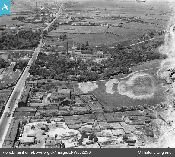
EPW032256 ENGLAND (1930). The Bardsley Vale Mills, the Stafford Works and Oldham Road, Limehurst, 1930. This image has been produced from a damaged negative.
© Copyright OpenStreetMap contributors and licensed by the OpenStreetMap Foundation. 2024. Cartography is licensed as CC BY-SA.
Nearby Images (10)
EPW032256

EPW032249

EPW032258

EPW032257

EPW032247

EPW032251

EPW032252

EPW032248

EPW032255

EPW032254

Details
| Title | [EPW032256] The Bardsley Vale Mills, the Stafford Works and Oldham Road, Limehurst, 1930. This image has been produced from a damaged negative. |
| Reference | EPW032256 |
| Date | June-1930 |
| Link | |
| Place name | LIMEHURST |
| Parish | |
| District | |
| Country | ENGLAND |
| Easting / Northing | 393148, 401196 |
| Longitude / Latitude | -2.1033251451651, 53.507158716292 |
| National Grid Reference | SD931012 |
Pins
 steven fitton |
Wednesday 14th of October 2020 07:18:37 PM | |
steven fitton |
Wednesday 14th of October 2020 07:14:38 PM | |
spike |
Thursday 27th of February 2020 05:50:38 PM | |
spike |
Thursday 27th of February 2020 05:49:47 PM | |
spike |
Thursday 27th of February 2020 05:47:22 PM | |
Barney Rubble |
Tuesday 23rd of July 2019 02:51:46 PM | |
TheBlueCube |
Monday 17th of November 2014 01:43:49 AM | |
eddief |
Sunday 1st of September 2013 08:23:18 PM | |
eddief |
Sunday 1st of September 2013 07:45:11 PM | |
keith |
Wednesday 12th of December 2012 03:36:04 PM |


