
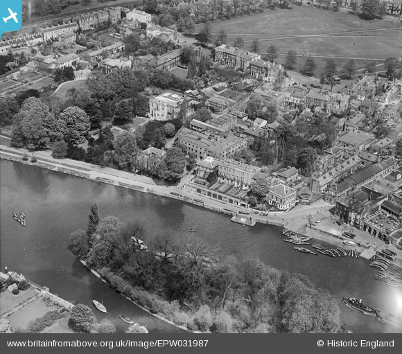
EPW031987 ENGLAND (1930). Corporation Island and The Riverside, Richmond, 1930
© Copyright OpenStreetMap contributors and licensed by the OpenStreetMap Foundation. 2024. Cartography is licensed as CC BY-SA.
Nearby Images (18)
EPW031987

EPW031992

EPW031988

EPW031990

EPW031989

EPW031991

EAW014152

EAW014151

EPW022842

EPW056173

EAW014149

EAW014150

EAW008242

EPW044552

EPW022837

EAW042759

EPW022844

EAW042758

Details
| Title | [EPW031987] Corporation Island and The Riverside, Richmond, 1930 |
| Reference | EPW031987 |
| Date | May-1930 |
| Link | |
| Place name | RICHMOND |
| Parish | |
| District | |
| Country | ENGLAND |
| Easting / Northing | 517578, 174714 |
| Longitude / Latitude | -0.30741583351808, 51.45868772638 |
| National Grid Reference | TQ176747 |
Pins
 Wordy |
Sunday 4th of May 2014 03:39:33 PM |


