
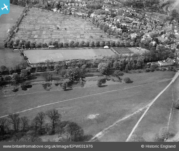
EPW031976 ENGLAND (1930). The King's Field Recreation Ground and environs, Hampton Wick, 1930
© Copyright OpenStreetMap contributors and licensed by the OpenStreetMap Foundation. 2024. Cartography is licensed as CC BY-SA.
Nearby Images (14)
EPW031976

EPW031975

EPW031969

EPW031973

EPW031974

EPW031971

EPW031972

EPW031970

EPW018088

EPW001724

EPW018087

EPW001722

EPW001721

EPW001726

Details
| Title | [EPW031976] The King's Field Recreation Ground and environs, Hampton Wick, 1930 |
| Reference | EPW031976 |
| Date | 12-May-1930 |
| Link | |
| Place name | HAMPTON WICK |
| Parish | |
| District | |
| Country | ENGLAND |
| Easting / Northing | 517351, 169251 |
| Longitude / Latitude | -0.31249277575945, 51.409629572216 |
| National Grid Reference | TQ174693 |
Pins
Be the first to add a comment to this image!


