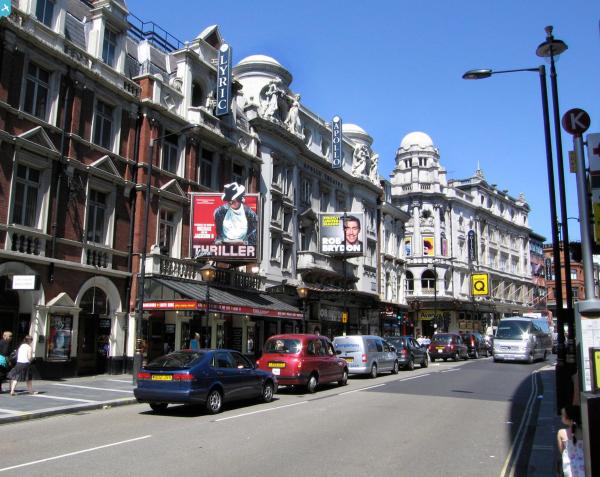
EPW030038 ENGLAND (1929). Piccadilly Circus, Westminster, 1929

© Copyright OpenStreetMap contributors and licensed by the OpenStreetMap Foundation. 2024. Cartography is licensed as CC BY-SA.
Nearby Images (48)
EPW030038

EPW055353

EAW021105

EPW005902

EAW049019

EPW030037

EAW022146

EAW005245

EAW030301

EAW030299

EPW009014

EAW022145

EAW021095

EAW000487

EPW005901

EAW030298

EPW055348

EAW030302

EAW000489

EPW055356

EAW030297

EAW035652

EPW018116

EAW000482

EPW021944

EPW024756

EAW021094

EAW021096

EPW018106

EAW030300

EPW020946

EAW000483

EPW030039

EPW021942

EAW028800

EPW036252

EAW048532

EAW048537

EPW030072

EPW018118

EAW048554

EPW021883

EPW059416

EPW060759

EPW005136

EPW021400

EAW048535

EPW018107

Details
| Title | [EPW030038] Piccadilly Circus, Westminster, 1929 |
| Reference | EPW030038 |
| Date | October-1929 |
| Link | |
| Place name | WESTMINSTER |
| Parish | |
| District | |
| Country | ENGLAND |
| Easting / Northing | 529534, 180678 |
| Longitude / Latitude | -0.13320964501585, 51.509680727594 |
| National Grid Reference | TQ295807 |
Pins
 Robin |
Saturday 30th of November 2013 04:08:02 PM | |
Robin |
Saturday 30th of November 2013 04:02:16 PM | |
Robin |
Saturday 30th of November 2013 04:00:54 PM | |
Robin |
Saturday 30th of November 2013 03:55:47 PM | |
Robin |
Saturday 30th of November 2013 03:53:29 PM | |
Robin |
Saturday 30th of November 2013 03:48:51 PM | |
 Alan McFaden |
Monday 1st of July 2013 08:19:01 AM | |
Alan McFaden |
Thursday 21st of March 2013 08:14:07 PM | |
Alan McFaden |
Thursday 21st of March 2013 08:10:17 PM | |
Alan McFaden |
Thursday 21st of March 2013 08:09:17 PM | |
Alan McFaden |
Thursday 21st of March 2013 08:06:12 PM | |
Alan McFaden |
Thursday 21st of March 2013 08:03:15 PM | |
Scapa |
Friday 28th of December 2012 12:47:40 AM |