
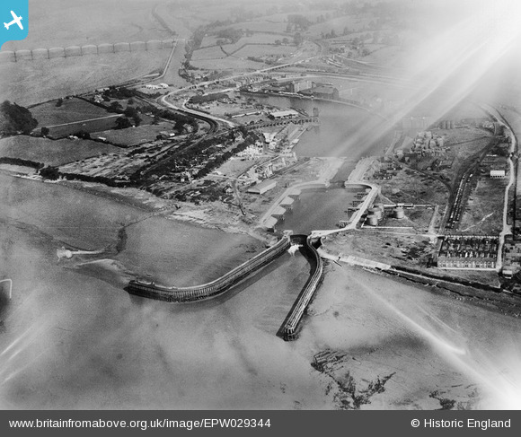
EPW029344 ENGLAND (1929). Sharpness Docks, Sharpness, 1929. This image has been affected by flare
© Copyright OpenStreetMap contributors and licensed by the OpenStreetMap Foundation. 2024. Cartography is licensed as CC BY-SA.
Nearby Images (12)
EPW029344

EPW029349

EPW037753

EPW029348

EPW037754

EPW029345

EPW005401

EAW012140

EAW012138

EAW012143

EAW012141

EAW012146

Details
| Title | [EPW029344] Sharpness Docks, Sharpness, 1929. This image has been affected by flare |
| Reference | EPW029344 |
| Date | September-1929 |
| Link | |
| Place name | SHARPNESS |
| Parish | HINTON |
| District | |
| Country | ENGLAND |
| Easting / Northing | 366816, 202272 |
| Longitude / Latitude | -2.4804077229988, 51.717734064196 |
| National Grid Reference | SO668023 |


