
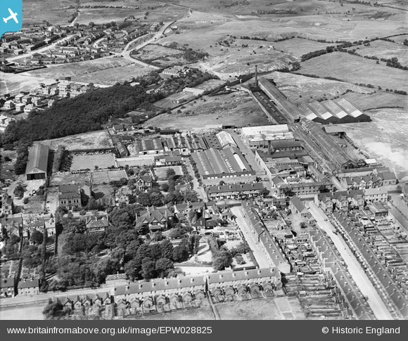
EPW028825 ENGLAND (1929). The Albion Works and environs, Bilston, 1929
© Copyright OpenStreetMap contributors and licensed by the OpenStreetMap Foundation. 2024. Cartography is licensed as CC BY-SA.
Nearby Images (7)
EPW028825

EPW028827

EPW028829

EPW028828

EPW028824

EPW028830

EPW028826

Details
| Title | [EPW028825] The Albion Works and environs, Bilston, 1929 |
| Reference | EPW028825 |
| Date | 30-August-1929 |
| Link | |
| Place name | BILSTON |
| Parish | |
| District | |
| Country | ENGLAND |
| Easting / Northing | 395211, 296830 |
| Longitude / Latitude | -2.0706651192739, 52.568915206491 |
| National Grid Reference | SO952968 |
Pins
 PeterD |
Monday 23rd of April 2018 07:19:48 PM | |
jennie crockett |
Sunday 22nd of February 2015 06:24:49 PM | |
dbm |
Monday 5th of January 2015 12:51:19 PM | |
Elizabeth Thomson |
Monday 10th of February 2014 11:59:28 AM | |
 Dylan Moore |
Friday 17th of May 2013 04:51:39 PM | |
MetalMike |
Sunday 3rd of February 2013 08:51:37 PM | |
MetalMike |
Sunday 3rd of February 2013 08:50:01 PM |


