
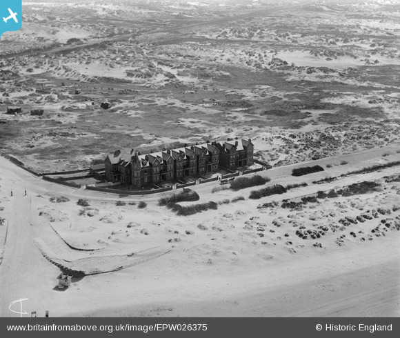
EPW026375 ENGLAND (1929). Ainsdale Hills sand dunes, Ainsdale-on-Sea, 1929
© Copyright OpenStreetMap contributors and licensed by the OpenStreetMap Foundation. 2024. Cartography is licensed as CC BY-SA.
Nearby Images (4)
EPW026375

EPW026376

EPW058496

EPW058493

Details
| Title | [EPW026375] Ainsdale Hills sand dunes, Ainsdale-on-Sea, 1929 |
| Reference | EPW026375 |
| Date | April-1929 |
| Link | |
| Place name | AINSDALE-ON-SEA |
| Parish | |
| District | |
| Country | ENGLAND |
| Easting / Northing | 329875, 412793 |
| Longitude / Latitude | -3.0599582593048, 53.606759232777 |
| National Grid Reference | SD299128 |
Pins
 Class31 |
Wednesday 24th of October 2012 07:35:06 AM | |
Class31 |
Tuesday 23rd of October 2012 11:40:09 PM | |
The full title of the original railway was the Southport & Cheshire Lines Extension Railway. It opened on 9th June 1901. |
Class31 |
Wednesday 24th of October 2012 07:39:23 AM |
The Cheshire Lines company was actually a joint operation between the Manchester Sheffield and Lincolnshire Railway and The Great Central. It was a competitor to the LMS |
 Bryan |
Saturday 22nd of February 2014 08:20:59 PM |
The Southport & Cheshire Lines Railway opened, for passenger services only, on the 1st September 1884 and for goods services from the 1st June 1885. Ainsdale Beach station, initially named "Seaside", was opened on the 19th June 1901. From 1923 both the LNER and the LMS ran their own locomotives, manned by their own footplate staff. In 1936 the LMS withdrew their locomotives and footplate staff, but the following year took over the permanent way and signalling departments from the LNER. |
Jutland |
Friday 1st of August 2014 02:19:55 PM |
Class31 |
Tuesday 23rd of October 2012 11:38:02 PM | |
Class31 |
Tuesday 23rd of October 2012 11:37:40 PM |
User Comment Contributions
This looks like a row of seaside properties in a desert! |
Class31 |
Tuesday 23rd of October 2012 11:42:33 PM |


