
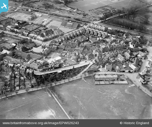
EPW026243 ENGLAND (1929). East Cliff, the Land Gate and environs, Rye, 1929
© Copyright OpenStreetMap contributors and licensed by the OpenStreetMap Foundation. 2024. Cartography is licensed as CC BY-SA.
Nearby Images (8)
EPW026243

EPW039358

EPW026240

EPW026236

EPW035354

EPW000159

EPW000127

EPW039360

Details
| Title | [EPW026243] East Cliff, the Land Gate and environs, Rye, 1929 |
| Reference | EPW026243 |
| Date | 24-April-1929 |
| Link | |
| Place name | RYE |
| Parish | RYE |
| District | |
| Country | ENGLAND |
| Easting / Northing | 592203, 120568 |
| Longitude / Latitude | 0.73676893359987, 50.951901871829 |
| National Grid Reference | TQ922206 |
Pins
 glennhughz |
Wednesday 9th of April 2014 05:37:46 PM |


