
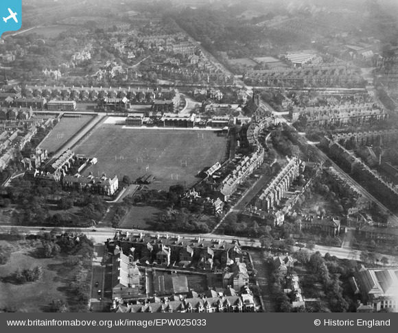
EPW025033 ENGLAND (1928). The Royal Grammar School, Newcastle upon Tyne, 1928
© Copyright OpenStreetMap contributors and licensed by the OpenStreetMap Foundation. 2024. Cartography is licensed as CC BY-SA.
Nearby Images (7)
EPW025033

EPW025036

EPW019807

EPW026661

EPW026668

EPW026663

EPW026658

Details
| Title | [EPW025033] The Royal Grammar School, Newcastle upon Tyne, 1928 |
| Reference | EPW025033 |
| Date | 12-October-1928 |
| Link | |
| Place name | NEWCASTLE UPON TYNE |
| Parish | |
| District | |
| Country | ENGLAND |
| Easting / Northing | 425105, 565404 |
| Longitude / Latitude | -1.6076728665424, 54.982528754558 |
| National Grid Reference | NZ251654 |
Pins
 Josh Springer |
Monday 25th of February 2019 05:23:06 PM |


