
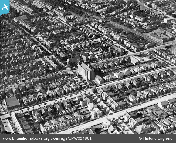
EPW024881 ENGLAND (1928). St Erkenwald's Church and environs, Southend-on-Sea, 1928
© Copyright OpenStreetMap contributors and licensed by the OpenStreetMap Foundation. 2024. Cartography is licensed as CC BY-SA.
Nearby Images (5)
EPW024881

EAW002191

EAW024661

EAW002194

EPW032918

Details
| Title | [EPW024881] St Erkenwald's Church and environs, Southend-on-Sea, 1928 |
| Reference | EPW024881 |
| Date | 3-October-1928 |
| Link | |
| Place name | SOUTHEND-ON-SEA |
| Parish | |
| District | |
| Country | ENGLAND |
| Easting / Northing | 589032, 185509 |
| Longitude / Latitude | 0.72596372240638, 51.536305382762 |
| National Grid Reference | TQ890855 |
Pins
 Sara |
Thursday 18th of January 2024 07:18:14 PM | |
Sara |
Thursday 18th of January 2024 07:17:48 PM | |
Sara |
Thursday 18th of January 2024 07:17:21 PM | |
Sara |
Thursday 18th of January 2024 07:16:54 PM | |
Sara |
Thursday 18th of January 2024 07:16:26 PM | |
garibaldi52 |
Wednesday 22nd of January 2020 11:16:02 PM |


