
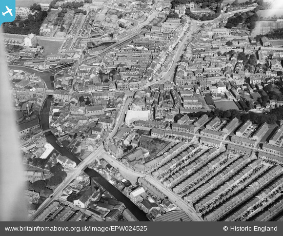
EPW024525 ENGLAND (1928). The town centre, Skipton, 1928
© Copyright OpenStreetMap contributors and licensed by the OpenStreetMap Foundation. 2024. Cartography is licensed as CC BY-SA.
Nearby Images (5)
EPW024525

EPW024524

EPW024526

EPW024535

EPW024533

Details
| Title | [EPW024525] The town centre, Skipton, 1928 |
| Reference | EPW024525 |
| Date | September-1928 |
| Link | |
| Place name | SKIPTON |
| Parish | SKIPTON |
| District | |
| Country | ENGLAND |
| Easting / Northing | 398957, 451489 |
| Longitude / Latitude | -2.0158976579001, 53.959291650313 |
| National Grid Reference | SD990515 |
Pins
 NigelP |
Friday 14th of January 2022 08:04:41 PM | |
Bayman1 |
Wednesday 30th of March 2016 04:36:47 PM | |
wadey |
Wednesday 12th of November 2014 01:09:57 PM | |
wadey |
Wednesday 12th of November 2014 01:08:37 PM | |
wadey |
Wednesday 12th of November 2014 01:07:12 PM | |
wadey |
Wednesday 12th of November 2014 01:05:48 PM | |
wadey |
Wednesday 12th of November 2014 01:04:56 PM | |
wadey |
Wednesday 12th of November 2014 01:04:00 PM | |
wadey |
Wednesday 12th of November 2014 01:02:30 PM | |
wadey |
Wednesday 12th of November 2014 01:01:36 PM | |
wadey |
Wednesday 12th of November 2014 01:00:01 PM | |
wadey |
Wednesday 12th of November 2014 12:59:35 PM | |
wadey |
Wednesday 12th of November 2014 12:59:12 PM |


