
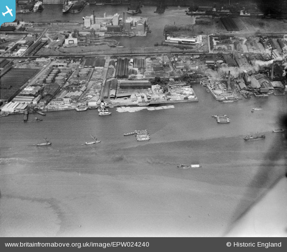
EPW024240 ENGLAND (1928). Minoco Wharf and environs with the Royal Victoria Dock in the background, Silvertown, 1928
© Copyright OpenStreetMap contributors and licensed by the OpenStreetMap Foundation. 2024. Cartography is licensed as CC BY-SA.
Nearby Images (8)
EPW024240

EAW021716

EPW024234

EPW024241

EPW024235

EPW024238

EPW009696

EPW009693

Details
| Title | [EPW024240] Minoco Wharf and environs with the Royal Victoria Dock in the background, Silvertown, 1928 |
| Reference | EPW024240 |
| Date | September-1928 |
| Link | |
| Place name | SILVERTOWN |
| Parish | |
| District | |
| Country | ENGLAND |
| Easting / Northing | 541232, 179676 |
| Longitude / Latitude | 0.034866157961457, 51.497872794324 |
| National Grid Reference | TQ412797 |


