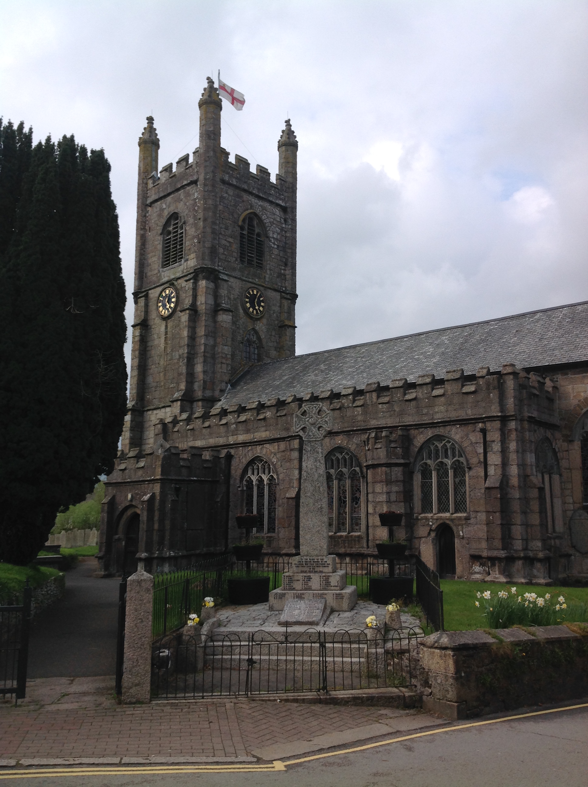
EPW023622 ENGLAND (1928). St Mary's Church, Callington, 1928

© Copyright OpenStreetMap contributors and licensed by the OpenStreetMap Foundation. 2024. Cartography is licensed as CC BY-SA.
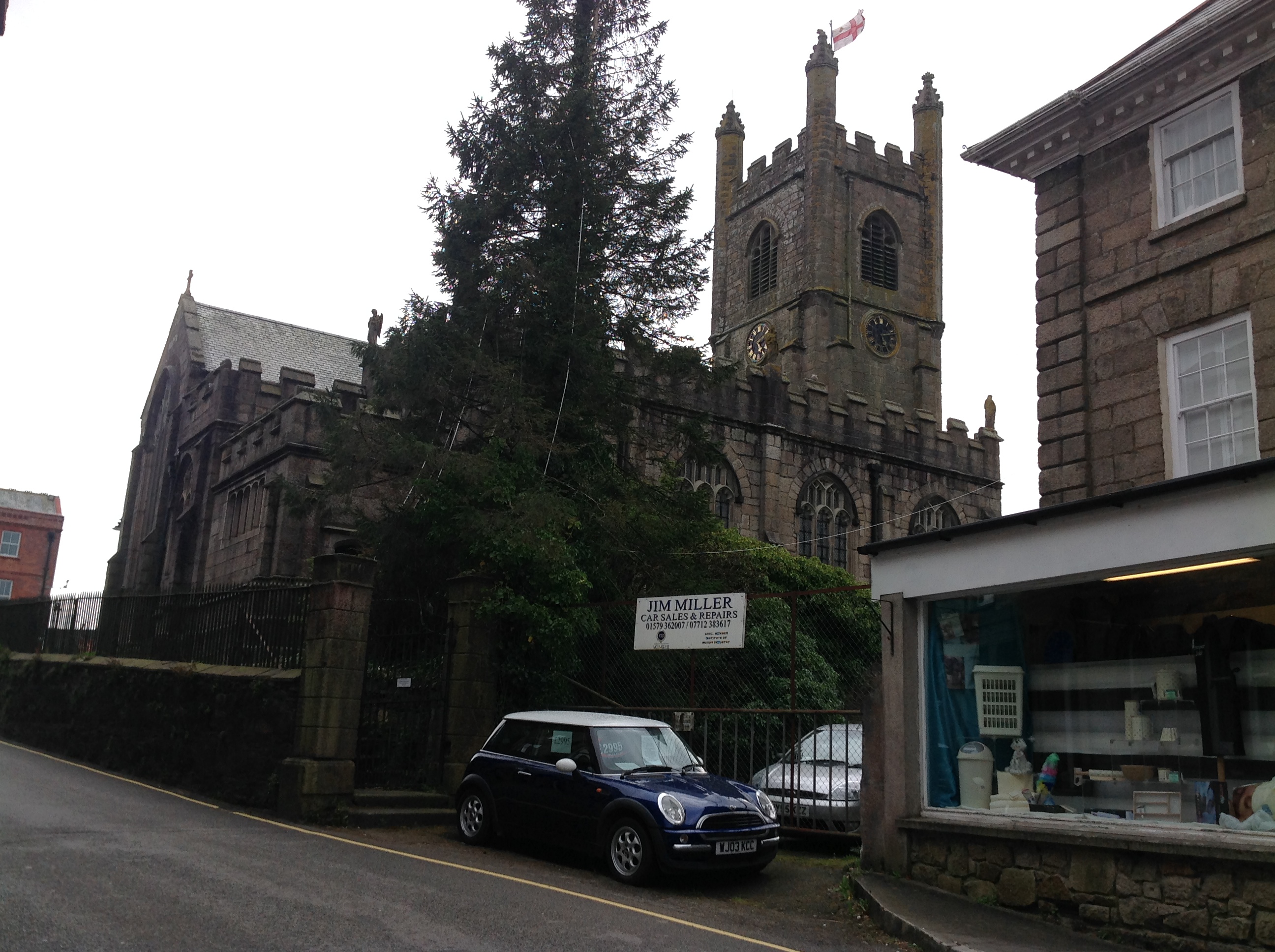
Nearby Images (8)
EPW023622

EPW023628

EPW023623

EPW023624

EPW023627

EPW011282

EPW023625

EPW023626

Details
| Title | [EPW023622] St Mary's Church, Callington, 1928 |
| Reference | EPW023622 |
| Date | September-1928 |
| Link | |
| Place name | CALLINGTON |
| Parish | CALLINGTON |
| District | |
| Country | ENGLAND |
| Easting / Northing | 235866, 69645 |
| Longitude / Latitude | -4.3148062219116, 50.50297276844 |
| National Grid Reference | SX359696 |
Pins
 Class31 |
Thursday 24th of April 2014 09:58:52 PM |