
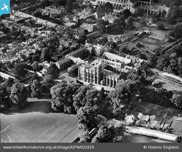
EPW023319 ENGLAND (1928). St Mary's College, Winchester, 1928
© Copyright OpenStreetMap contributors and licensed by the OpenStreetMap Foundation. 2024. Cartography is licensed as CC BY-SA.
Nearby Images (19)
EPW023319

EAW035269
, Winchester, 1951")
EAW035263
, Winchester, 1951")
EAW035270
, Winchester, 1951")
EPW044869

EAW035268
, Winchester, 1951")
EPW023322

EPW044867

EAW035266
, the Cathedral of the Holy Trinity and the city, Winchester, 1951")
EAW035264

EAW022311

EAW035267

EAW035265
, Winchester, 1951")
EAW035260

EAW035262

EAW035261

EPW005114A

EPW023326

EPW016868

Details
| Title | [EPW023319] St Mary's College, Winchester, 1928 |
| Reference | EPW023319 |
| Date | September-1928 |
| Link | |
| Place name | WINCHESTER |
| Parish | |
| District | |
| Country | ENGLAND |
| Easting / Northing | 448236, 128941 |
| Longitude / Latitude | -1.3116630178178, 51.057247258928 |
| National Grid Reference | SU482289 |
Pins
 rh8 |
Wednesday 27th of June 2012 12:28:01 AM |


