
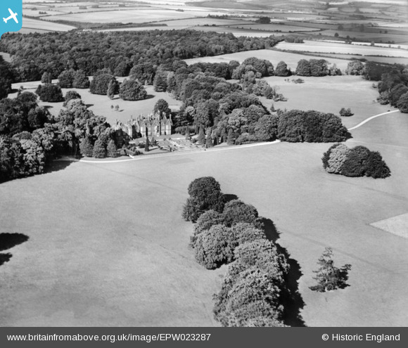
EPW023287 ENGLAND (1928). Hurstbourne Park and the Mansion, Hurstbourne Park, 1928
© Copyright OpenStreetMap contributors and licensed by the OpenStreetMap Foundation. 2024. Cartography is licensed as CC BY-SA.
Nearby Images (3)
EPW023287

EPW023288

EPW023289

Details
| Title | [EPW023287] Hurstbourne Park and the Mansion, Hurstbourne Park, 1928 |
| Reference | EPW023287 |
| Date | September-1928 |
| Link | |
| Place name | HURSTBOURNE PARK |
| Parish | HURSTBOURNE PRIORS |
| District | |
| Country | ENGLAND |
| Easting / Northing | 444096, 147972 |
| Longitude / Latitude | -1.368406429856, 51.228716697833 |
| National Grid Reference | SU441480 |
Pins
Be the first to add a comment to this image!


