
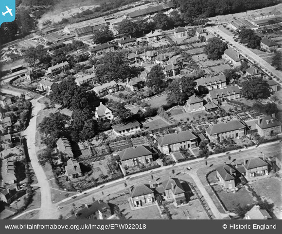
EPW022018 ENGLAND (1928). The Quadrangle and Russellcroft Road, Welwyn Garden City, 1928
© Copyright OpenStreetMap contributors and licensed by the OpenStreetMap Foundation. 2024. Cartography is licensed as CC BY-SA.
Nearby Images (20)
EPW022018

EAW013992

EPW013424

EPW022027

EPW047366

EPW047356

EPW022030

EPW047357

EPW047367

EPW047369

EPW047368

EPW047379

EPW025536

EAW013994

EPW054540

EPW062050

EPW022026

EPW054542

EPW054540A

EPW025528

Details
| Title | [EPW022018] The Quadrangle and Russellcroft Road, Welwyn Garden City, 1928 |
| Reference | EPW022018 |
| Date | July-1928 |
| Link | |
| Place name | WELWYN GARDEN CITY |
| Parish | |
| District | |
| Country | ENGLAND |
| Easting / Northing | 523420, 213143 |
| Longitude / Latitude | -0.20981180614878, 51.80284175161 |
| National Grid Reference | TL234131 |


