
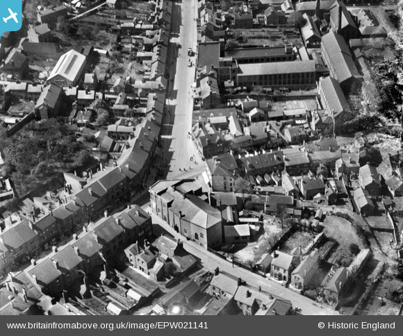
EPW021141 ENGLAND (1928). The junction of High Street and Market Street, Heanor, 1928
© Copyright OpenStreetMap contributors and licensed by the OpenStreetMap Foundation. 2024. Cartography is licensed as CC BY-SA.
Nearby Images (12)
EPW021141

EPW021102

EPW008448

EPW008450

EPW008447

EPW008446

EPW008451

EPW008445

EPW008449

EPW021140

EPW021143

EPW021139

Details
| Title | [EPW021141] The junction of High Street and Market Street, Heanor, 1928 |
| Reference | EPW021141 |
| Date | April-1928 |
| Link | |
| Place name | HEANOR |
| Parish | HEANOR AND LOSCOE |
| District | |
| Country | ENGLAND |
| Easting / Northing | 443231, 346533 |
| Longitude / Latitude | -1.3555474182436, 53.014046754158 |
| National Grid Reference | SK432465 |
Pins
User Comment Contributions
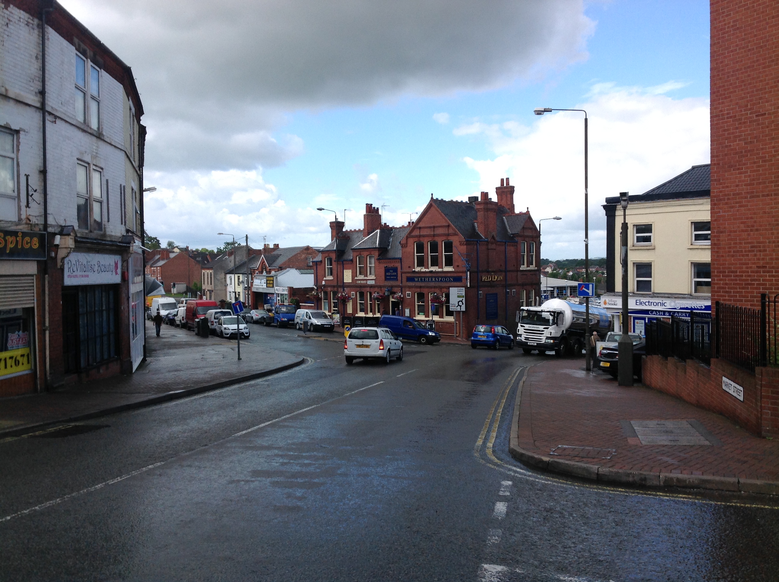 The Red Lion PH, Heanor, 12/08/2014 |
 Class31 |
Thursday 14th of August 2014 07:48:19 AM |


