
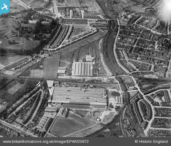
EPW020872 ENGLAND (1928). The Acton and Chiswick Works (London Passenger Transport Board) and environs, Gunnersbury, 1928
© Copyright OpenStreetMap contributors and licensed by the OpenStreetMap Foundation. 2024. Cartography is licensed as CC BY-SA.
Nearby Images (48)
EPW020872
 and environs, Gunnersbury, 1928")
EPW043992
, Gunnersbury, 1934")
EPW061230

EPW020839

EPW020842

EPW020843

EPW020874
, Gunnersbury, 1928")
EPW010686
 Works, Gunnersbury, 1924")
EPW010685
 Works, Gunnersbury, 1924")
EPW010684
 Works, Gunnersbury, 1924")
EPW043993
, Gunnersbury, 1934")
EAW044734

EAW044728

EPW016535
 Works, Gunnersbury, 1926")
EPW016537
 Works and environs, Gunnersbury, 1926")
EPW020838

EPW024941
 Works, Gunnersbury, 1928")
EAW044727

EPW020840

EPW043995
 and South Acton, Gunnersbury, 1934")
EPW020876
 and envions, Gunnersbury, 1928")
EPW043996
 and environs, Gunnersbury, 1934")
EPW043998
 and South Acton, Gunnersbury, 1934")
EPW020875
, Gunnersbury, 1928")
EAW044733

EPW020873
, Gunnersbury, 1928")
EPW020871
, Gunnersbury, 1928")
EPW010683
 Works, Gunnersbury, 1924")
EAW044725

EPW016538
 Works and environs, Gunnersbury, 1926")
EAW044735

EAW044732

EPW016536
 Works and environs, Gunnersbury, 1926")
EAW044736

EPW007145
 and environs, Gunnersbury, from the north-east, 1921")
EAW044731

EPW010674
 Works, Gunnersbury, 1924")
EPW005268

EAW044724

EAW044726

EAW044730

EPW010675
 Works, Gunnersbury, 1924")
EPW005267

EAW044729

EPW043999
 and South Acton, Gunnersbury, 1934")
EPW021261

EPW005261

EPW043997
 and environs, Gunnersbury, 1934")
Details
| Title | [EPW020872] The Acton and Chiswick Works (London Passenger Transport Board) and environs, Gunnersbury, 1928 |
| Reference | EPW020872 |
| Date | April-1928 |
| Link | |
| Place name | GUNNERSBURY |
| Parish | |
| District | |
| Country | ENGLAND |
| Easting / Northing | 519671, 178997 |
| Longitude / Latitude | -0.27584946715971, 51.496746653097 |
| National Grid Reference | TQ197790 |


