
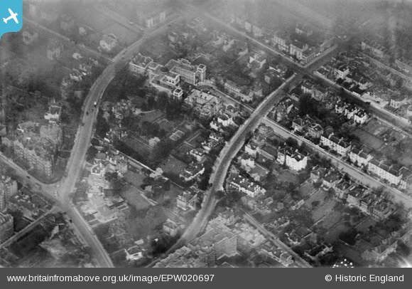
EPW020697 ENGLAND (1928). The Hospital of St John and St Elizabeth and environs, St John's Wood, 1928
© Copyright OpenStreetMap contributors and licensed by the OpenStreetMap Foundation. 2024. Cartography is licensed as CC BY-SA.
Nearby Images (15)
EPW020697

EPW020916

EPW020698

EPW020912

EPW020915

EPW020917

EPW020914

EPW020911

EPW020913

EPW020699

EAW044241

EAW018356

EPW045411

EAW018353

EAW025336

Details
| Title | [EPW020697] The Hospital of St John and St Elizabeth and environs, St John's Wood, 1928 |
| Reference | EPW020697 |
| Date | March-1928 |
| Link | |
| Place name | ST JOHN'S WOOD |
| Parish | |
| District | |
| Country | ENGLAND |
| Easting / Northing | 526697, 183100 |
| Longitude / Latitude | -0.17320168371945, 51.53209279823 |
| National Grid Reference | TQ267831 |
Pins
 BigglesH |
Thursday 28th of June 2012 03:48:08 AM | |
Thanks BigglesH, you've got this one nailed. There was no entry for this glass plate or for EPW020698 in the original Aerofilms Ltd Register. We'll update the catalogue and the new details will appear here in due course. Katy Whitaker Britain from Above Cataloguer |
Katy Whitaker |
Monday 2nd of July 2012 04:14:03 PM |
BigglesH |
Thursday 28th of June 2012 03:45:36 AM |


