
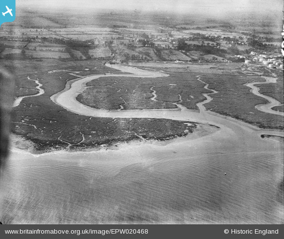
EPW020468 ENGLAND (1928). Southampton Water mud flats and Ashlett Creek, Ashlett, from the north-east, 1928
© Copyright OpenStreetMap contributors and licensed by the OpenStreetMap Foundation. 2024. Cartography is licensed as CC BY-SA.
Nearby Images (8)
EPW020468

EPW020505

EAW038221

EAW038218

EAW038219

EAW038220

EPW020487

EPW020504

Details
| Title | [EPW020468] Southampton Water mud flats and Ashlett Creek, Ashlett, from the north-east, 1928 |
| Reference | EPW020468 |
| Date | 16-March-1928 |
| Link | |
| Place name | ASHLETT |
| Parish | FAWLEY |
| District | |
| Country | ENGLAND |
| Easting / Northing | 447617, 103756 |
| Longitude / Latitude | -1.3237892519162, 50.830816957408 |
| National Grid Reference | SU476038 |
Pins
 Class31 |
Tuesday 7th of August 2012 08:15:19 PM |


