
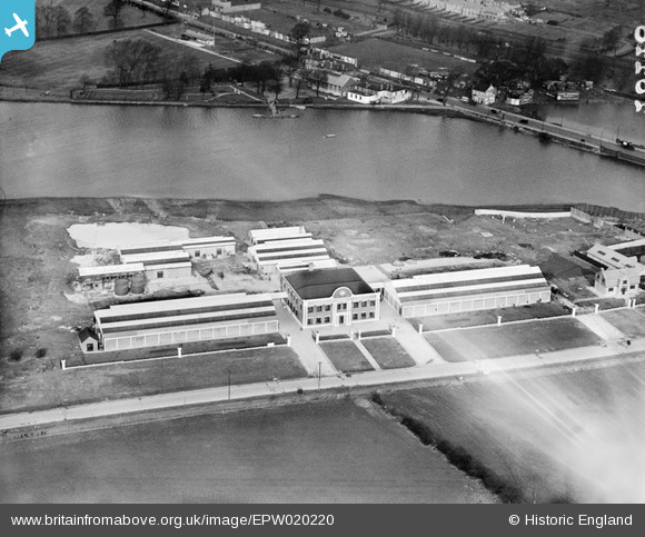
EPW020220 ENGLAND (1928). Allen-Liversidge Limited works and Brent Reservoir, Dollis Hill, 1928
© Copyright OpenStreetMap contributors and licensed by the OpenStreetMap Foundation. 2024. Cartography is licensed as CC BY-SA.
Nearby Images (35)
EPW020220

EPW032152

EPW032153

EPW050426

EPW032151

EPW020221

EAW048510

EAW048511

EAW048506

EPW055759

EPW050427

EAW048512

EAW048507

EPW055760

EAW048509

EAW048508

EPW032144

EAW048505

EPW038699

EPW050428

EPW046460

EPW032146

EAW004146

EAW004149

EAW004145

EPW046461

EAW004148

EPW032177

EAW004144

EPW057606

EAW004147

EPW032145

EPW053783

EPW053785

EPW032171

Details
| Title | [EPW020220] Allen-Liversidge Limited works and Brent Reservoir, Dollis Hill, 1928 |
| Reference | EPW020220 |
| Date | 2-February-1928 |
| Link | |
| Place name | DOLLIS HILL |
| Parish | |
| District | |
| Country | ENGLAND |
| Easting / Northing | 522367, 187243 |
| Longitude / Latitude | -0.23416036790574, 51.570285992768 |
| National Grid Reference | TQ224872 |
Pins
Be the first to add a comment to this image!
User Comment Contributions
Now looking rather sadder as Atlantic House on the A406. |
 flyer |
Tuesday 8th of April 2014 12:36:52 PM |


