
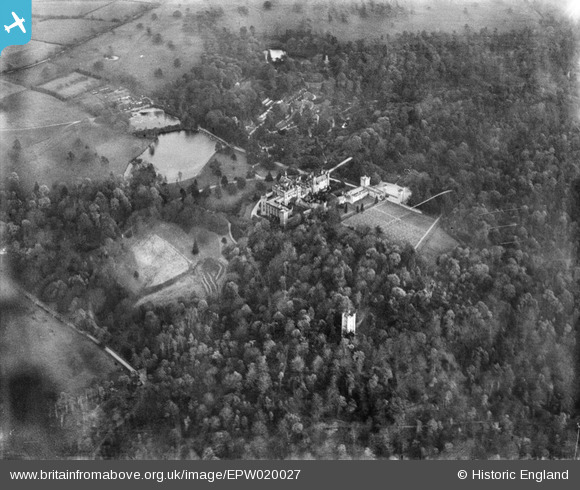
EPW020027 ENGLAND (1927). Alton Towers, Alton, 1927
© Copyright OpenStreetMap contributors and licensed by the OpenStreetMap Foundation. 2024. Cartography is licensed as CC BY-SA.
Nearby Images (9)
EPW020027

EAW036928

EAW024742

EPW020026

EAW036927

EPW020024

EPW005741

EPW020025

EAW024741

Details
| Title | [EPW020027] Alton Towers, Alton, 1927 |
| Reference | EPW020027 |
| Date | October-1927 |
| Link | |
| Place name | ALTON |
| Parish | FARLEY |
| District | |
| Country | ENGLAND |
| Easting / Northing | 407172, 343188 |
| Longitude / Latitude | -1.8931563299463, 52.985672457625 |
| National Grid Reference | SK072432 |
Pins
Be the first to add a comment to this image!


