
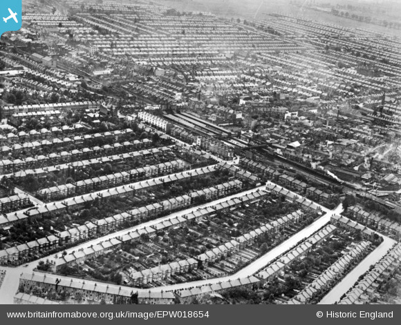
EPW018654 ENGLAND (1927). Ilford Railway Station and environs, Ilford, 1927. This image has been produced from a copy-negative.
© Copyright OpenStreetMap contributors and licensed by the OpenStreetMap Foundation. 2024. Cartography is licensed as CC BY-SA.
Nearby Images (5)
EPW018654

EPW024242

EPW024245

EPW043396

EPW043397

Details
| Title | [EPW018654] Ilford Railway Station and environs, Ilford, 1927. This image has been produced from a copy-negative. |
| Reference | EPW018654 |
| Date | June-1927 |
| Link | |
| Place name | ILFORD |
| Parish | |
| District | |
| Country | ENGLAND |
| Easting / Northing | 543393, 186528 |
| Longitude / Latitude | 0.068770168185361, 51.558904890943 |
| National Grid Reference | TQ434865 |
Pins
 Hermann the German |
Thursday 2nd of November 2017 08:07:19 PM | |
Hermann the German |
Thursday 2nd of November 2017 08:05:47 PM | |
Hermann the German |
Thursday 2nd of November 2017 08:04:39 PM | |
Hermann the German |
Thursday 2nd of November 2017 08:03:39 PM | |
Hermann the German |
Thursday 2nd of November 2017 07:59:12 PM | |
Hermann the German |
Thursday 2nd of November 2017 07:57:27 PM | |
Hermann the German |
Thursday 2nd of November 2017 07:55:20 PM | |
Hermann the German |
Thursday 2nd of November 2017 07:40:32 PM | |
Hermann the German |
Thursday 2nd of November 2017 07:39:16 PM | |
Hermann the German |
Thursday 2nd of November 2017 07:36:08 PM |


