
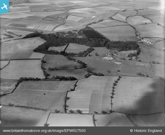
EPW017503 ENGLAND (1927). Hall Farm and Whipsnade Wood, Whipsnade, 1927
© Copyright OpenStreetMap contributors and licensed by the OpenStreetMap Foundation. 2024. Cartography is licensed as CC BY-SA.
Nearby Images (14)
EPW017503

EPW035105

EAW003416
, Whipsnade Wood and the surrounding area, Whipsnade, from the south-east, 1946")
EAW014235

EAW037786

EAW003415
 and the surrounding area, Whipsnade, 1946")
EPW017506

EPW035106

EPW035113

EPW056906

EPW017511

EPW035102

EPW035117

EPW035109

Details
| Title | [EPW017503] Hall Farm and Whipsnade Wood, Whipsnade, 1927 |
| Reference | EPW017503 |
| Date | March-1927 |
| Link | |
| Place name | WHIPSNADE |
| Parish | WHIPSNADE |
| District | |
| Country | ENGLAND |
| Easting / Northing | 500413, 217451 |
| Longitude / Latitude | -0.54214525830714, 51.846172917701 |
| National Grid Reference | TL004175 |
Pins
Be the first to add a comment to this image!


