
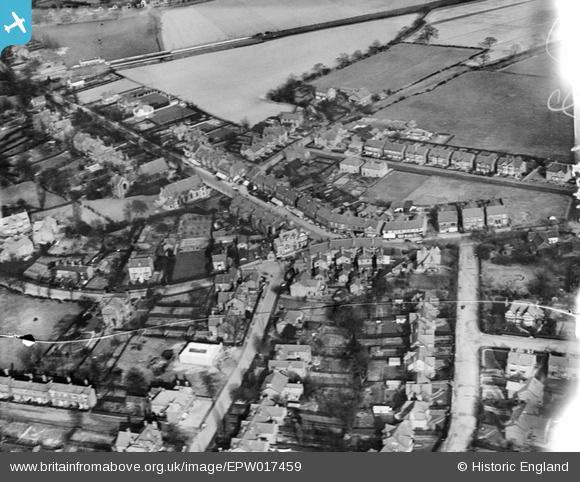
EPW017459 ENGLAND (1927). The junction of Bramhall Lane and Ack Lane, Bramhall, 1927
© Copyright OpenStreetMap contributors and licensed by the OpenStreetMap Foundation. 2024. Cartography is licensed as CC BY-SA.
Nearby Images (2)
EPW017459

EPW019119

Details
| Title | [EPW017459] The junction of Bramhall Lane and Ack Lane, Bramhall, 1927 |
| Reference | EPW017459 |
| Date | March-1927 |
| Link | |
| Place name | BRAMHALL |
| Parish | |
| District | |
| Country | ENGLAND |
| Easting / Northing | 389055, 384539 |
| Longitude / Latitude | -2.1644664779983, 53.357350895537 |
| National Grid Reference | SJ891845 |
Pins
 John Ellis |
Sunday 11th of September 2016 12:34:25 PM | |
John Ellis |
Thursday 1st of September 2016 10:06:00 PM | |
John Ellis |
Thursday 1st of September 2016 10:04:25 PM | |
John Ellis |
Thursday 1st of September 2016 10:03:28 PM | |
John Ellis |
Thursday 1st of September 2016 10:02:07 PM | |
John Ellis |
Thursday 1st of September 2016 10:00:50 PM | |
John Ellis |
Thursday 1st of September 2016 10:00:10 PM | |
John Ellis |
Thursday 1st of September 2016 09:58:02 PM | |
John Ellis |
Thursday 1st of September 2016 09:57:00 PM | |
John Ellis |
Thursday 1st of September 2016 09:56:07 PM | |
John Ellis |
Thursday 1st of September 2016 09:55:09 PM | |
John Ellis |
Thursday 1st of September 2016 09:53:40 PM | |
John Ellis |
Thursday 1st of September 2016 09:52:33 PM | |
John Ellis |
Thursday 1st of September 2016 09:51:24 PM |


