
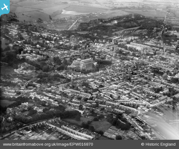
EPW016870 ENGLAND (1926). The Cathedral of the Holy Trinity and environs, Winchester, 1926
© Copyright OpenStreetMap contributors and licensed by the OpenStreetMap Foundation. 2024. Cartography is licensed as CC BY-SA.
Nearby Images (20)
EPW016870

EAW051297

EAW035273

EAW035274

EAW051303

EPW044868

EPW023318

EAW022308

EAW008846

EAW035271

EPW023325

EAW035272

EAW051299

EAW008847

EAW008850

EPW005114A

EPW016868

EAW051300

EAW051298

EAW035261

Details
| Title | [EPW016870] The Cathedral of the Holy Trinity and environs, Winchester, 1926 |
| Reference | EPW016870 |
| Date | August-1926 |
| Link | |
| Place name | WINCHESTER |
| Parish | |
| District | |
| Country | ENGLAND |
| Easting / Northing | 448232, 129341 |
| Longitude / Latitude | -1.31166675848, 51.060844609489 |
| National Grid Reference | SU482293 |
Pins
 Mark Allen |
Saturday 14th of August 2021 01:40:32 PM | |
 Class31 |
Friday 26th of September 2014 07:45:46 PM | |
Class31 |
Friday 26th of September 2014 07:44:50 PM | |
Class31 |
Friday 26th of September 2014 07:43:44 PM | |
 Alan McFaden |
Monday 25th of November 2013 06:33:44 PM |


