
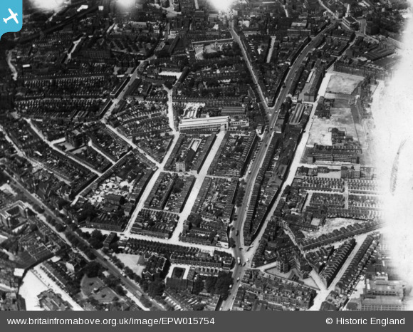
EPW015754 ENGLAND (1926). Great Dover Street and environs, Bermondsey, 1926. This image has been produced from a print affected by flare.
© Copyright OpenStreetMap contributors and licensed by the OpenStreetMap Foundation. 2024. Cartography is licensed as CC BY-SA.
Nearby Images (28)
EPW015754

EAW021501

EAW021502

EPW015750

EPW007723

EPW007727

EPW015753

EPW007728

EPW007725

EAW021507

EPW015749

EAW021509

EPW016620

EPW015752

EPW007724

EAW021505

EAW021506

EPW016619

EAW021510

EPW015760

EPW007726

EPW015751

EAW021503

EPW015759

EAW000535

EAW021504

EAW021500

EPW042211

Details
| Title | [EPW015754] Great Dover Street and environs, Bermondsey, 1926. This image has been produced from a print affected by flare. |
| Reference | EPW015754 |
| Date | 7-June-1926 |
| Link | |
| Place name | BERMONDSEY |
| Parish | |
| District | |
| Country | ENGLAND |
| Easting / Northing | 532691, 179239 |
| Longitude / Latitude | -0.088280615631119, 51.496015059643 |
| National Grid Reference | TQ327792 |
Pins
 Chelsea61 |
Tuesday 25th of November 2014 06:52:50 PM |
User Comment Contributions
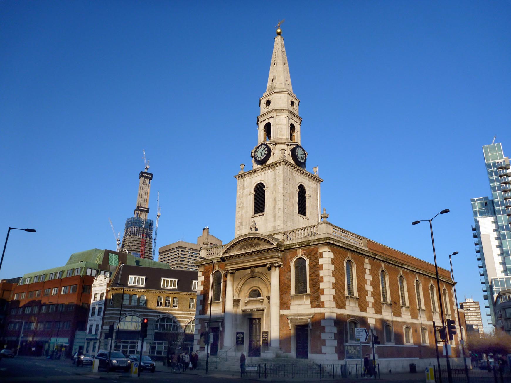 Saint George the Martyr |
 Alan McFaden |
Sunday 28th of December 2014 08:59:39 PM |


