
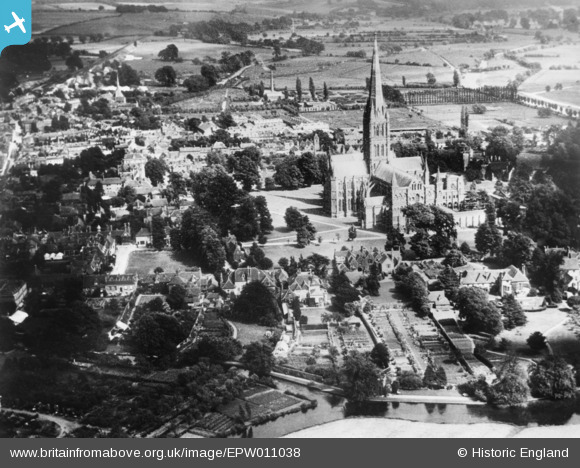
EPW011038 ENGLAND (1924). St Mary's Cathedral and environs, Salisbury, 1924. This image has been produced from a copy-negative.
© Copyright OpenStreetMap contributors and licensed by the OpenStreetMap Foundation. 2024. Cartography is licensed as CC BY-SA.
Nearby Images (27)
EPW011038

EAW051988

EAW051986

EAW003563

EAW025832

EAW051969

EAW025826

EPW041084

EPW041083

EPW011037

EAW051967

EPW041080

EAW025829
, Salisbury, 1949. This image has been produced from a damaged negative.")
EAW003562

EAW051978

EAW051976

EAW051987

EAW051974

EAW025828
, Salisbury, 1949. This image has been produced from a damaged negative.")
EAW051917

EAW025827

EAW051975

EAW003564

EAW025831

EAW051922

EAW051921

EAW025830

Details
| Title | [EPW011038] St Mary's Cathedral and environs, Salisbury, 1924. This image has been produced from a copy-negative. |
| Reference | EPW011038 |
| Date | July-1924 |
| Link | |
| Place name | SALISBURY |
| Parish | SALISBURY |
| District | |
| Country | ENGLAND |
| Easting / Northing | 414306, 129605 |
| Longitude / Latitude | -1.7958171737444, 51.065067143221 |
| National Grid Reference | SU143296 |
Pins
Be the first to add a comment to this image!
User Comment Contributions
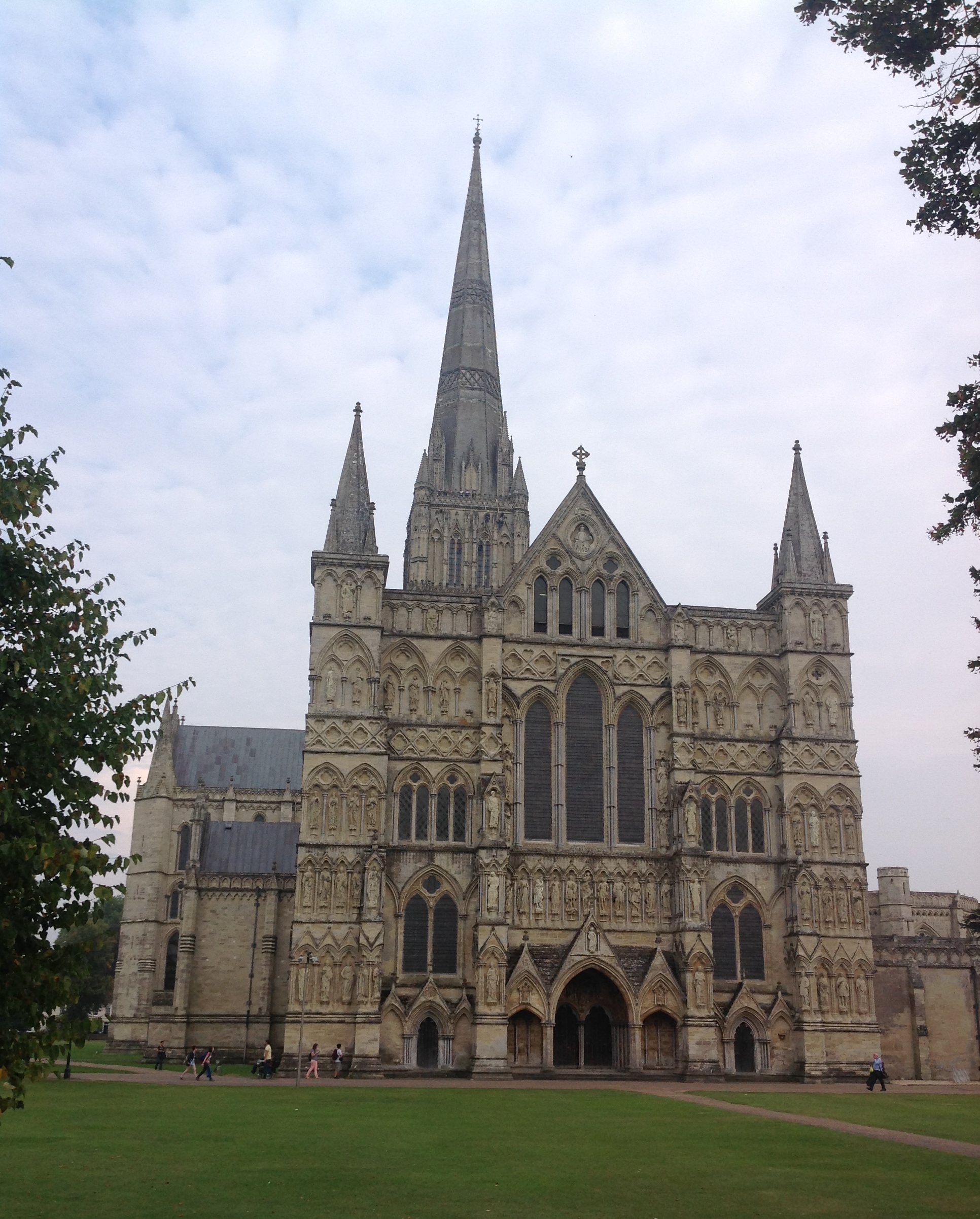 Salisbury Cathedral, 18/09/2014 |
 Class31 |
Thursday 18th of September 2014 08:39:22 PM |


