
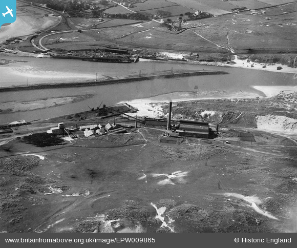
EPW009865 ENGLAND (1924). The Power Station and Pentowan Calcining Works, Hayle, 1924
© Copyright OpenStreetMap contributors and licensed by the OpenStreetMap Foundation. 2024. Cartography is licensed as CC BY-SA.
Nearby Images (38)
EPW009865

EPW009868

EPW009866

EAW021307

EAW021306

EAW021308

EPW009864

EPW021742

EPW009867

EAW021313

EAW021314

EAW007758

EAW030943

EAW033736

EAW007757

EAW007756

EAW033740

EAW021310

EAW007751

EAW007761

EAW021311
, Hayle, 1949. This image has been produced from a damaged negative.")
EAW007753

EAW021316

EAW033738

EAW033741

EAW033737

EAW007759

EAW007754

EAW007755

EAW021312

EAW007752

EAW021315

EAW007760

EAW021309
, Hayle, 1949. This image has been produced from a damaged negative.")
EAW033739

EAW033733

EAW033732

EAW033735

Details
| Title | [EPW009865] The Power Station and Pentowan Calcining Works, Hayle, 1924 |
| Reference | EPW009865 |
| Date | March-1924 |
| Link | |
| Place name | HAYLE |
| Parish | HAYLE |
| District | |
| Country | ENGLAND |
| Easting / Northing | 155322, 37961 |
| Longitude / Latitude | -5.4283445145394, 50.190410586785 |
| National Grid Reference | SW553380 |
Pins
Be the first to add a comment to this image!


